West Lafayette in Tippecanoe County, Indiana — The American Midwest (Great Lakes)
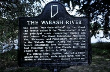
The Wabash River
(Side One)
was called "Wah-bah-shik-ki" by the Miami. The French called it the "Oua-ba-che." It was the principal route connecting Quebec and New Orleans. The Miami, Potawatomi, Mascouten, Wea, Kickapoo, and Piankashaw Indians lived in the Wabash Valley. Along the river the French established Fort Ouiatanon (1717) and Post Vincennes (1732). The French lost their empire to the British in 1763.
The Ottawa chief, Pontiac, who led a revolt against the British, made peace (1765) with the British at Ouiatanon.
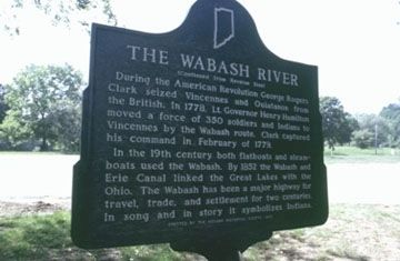
(Side Two)
During the American Revolution George Rogers Clark seized Vincennes and Ouiatanon from the British. In 1778, Lt. Governor Henry Hamilton moved a force of 350 soldiers and Indians to Vincennes by the Wabash route. Clark captured his command in February of 1779.
In the 19th century both flatboats and steamboats used the Wabash. By 1852 the Wabash and Erie Canal linked the Great Lakes with the Ohio. The Wabash has been a major highway for travel, trade, and settlement for two centuries. In song and in story it symbolizes Indiana.
Erected 1973 by Indiana Historical Society. (Marker Number 79.1973.1.)
Topics and series. This historical marker is listed in these topic lists: Native Americans • War, US Revolutionary • Wars, US Indian • Waterways & Vessels. In addition, it is included in the Indiana Historical Bureau Markers series list. A significant historical month for this entry is February 1779.
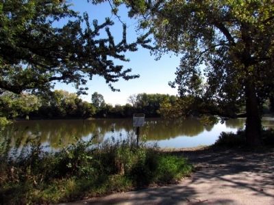
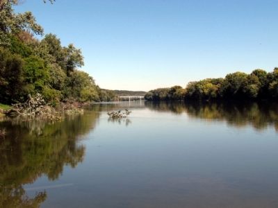
Location. Marker has been reported permanently removed. It was located near 40° 26.182′ N, 86° 53.813′ W. Marker was in West Lafayette, Indiana, in Tippecanoe County. Marker could be reached from N. River Road (State Road 43) 0.1 miles north of Happy Hollow Road (State Road 443), on the right when traveling north. Marker was located near boat landing in Mascouten Park. Touch for map. Marker was in this post office area: West Lafayette IN 47906, United States of America.
We have been informed that this sign or monument is no longer there and will not be replaced. This page is an archival view of what was.
Other nearby markers. At least 8 other markers are within 2 miles of this location, measured as the crow flies. William Henry Harrison Memorial Bridge (approx. ¾ mile away); Centennial Historic District (approx. 1.1 miles away); Lincoln in Lafayette (approx. 1.1 miles away); Main Street Bridge (approx. 1.1 miles away); John T. Myers (approx. 1.2 miles away); Big Four Depot (approx. 1.2 miles away); Iraq War Memorial (approx. 1.2 miles away); The Purple Heart Memorial (approx. 1.2 miles away).
Also see . . . Wabash River - Wikipedia entry. (Submitted on October 15, 2013.)
Credits. This page was last revised on March 7, 2023. It was originally submitted on October 15, 2013, by Duane Hall of Abilene, Texas. This page has been viewed 669 times since then and 54 times this year. Last updated on March 5, 2023, by Trevor L Whited of Kokomo, Indiana. Photos: 1, 2, 3, 4, 5. submitted on October 15, 2013, by Duane Hall of Abilene, Texas. • J. Makali Bruton was the editor who published this page.


