Near Darlington in Montgomery County, Indiana — The American Midwest (Great Lakes)
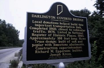
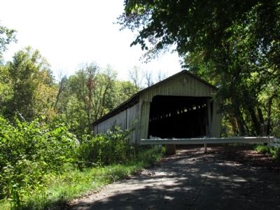
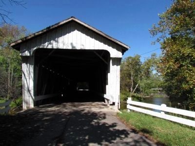
Darlington Covered Bridge
Erected 1993 by Indiana Historical Bureau and Darlington Community Association Inc. (Marker Number 54.1993.1.)
Topics and series. This historical marker is listed in this topic list: Bridges & Viaducts. In addition, it is included in the Covered Bridges series list. A significant historical year for this entry is 1868.
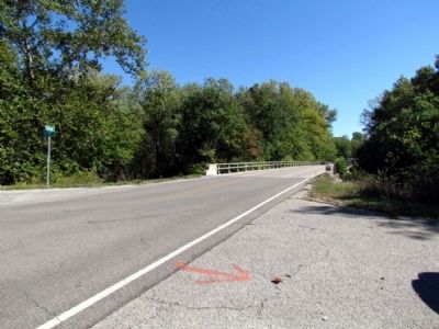
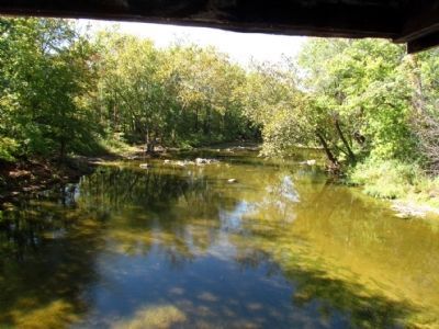
Location. Marker is missing. It was located near 40° 6.59′ N, 86° 47.598′ W. Marker was near Darlington, Indiana, in Montgomery County. Marker was at the intersection of County Road E 500N and County Road N 575E, on the right when traveling east on County Road E 500N. Marker was located at the southwest corner of the County Road E 500N bridge over Sugar Creek. Touch for map. Marker was in this post office area: Darlington IN 47940, United States of America. Touch for directions.
Other nearby markers. At least 8 other markers are within 8 miles of this location, measured as the crow flies. Major General Lew Wallace (approx. 7.2 miles away); Federal Land Office (approx. 7.2 miles away); The Elston Homestead (approx. 7.3 miles away); Otto Schlemmer Building (approx. 7.3 miles away); Elston Memorial Home (approx. 7.3 miles away); Howdy Wilcox (approx. 7.3 miles away); Montgomery County Rotary Jail (approx. 7.3 miles away); Veterans of All Wars (approx. 7.4 miles away).
More about this marker. According to the Indiana Historical Bureau in October 2013, the marker and support post were damaged by an automobile accident a few years ago and are in storage. The marker was located 600 feet north of the Darlington Covered Bridge.
Also see . . . Darlington Covered Bridge. From the Darlington, Indiana website. (Submitted on April 23, 2015, by Duane Hall of Abilene, Texas.)
Credits. This page was last revised on January 15, 2021. It was originally submitted on October 16, 2013, by Duane Hall of Abilene, Texas. This page has been viewed 555 times since then and 28 times this year. Photos: 1, 2, 3, 4, 5. submitted on October 16, 2013, by Duane Hall of Abilene, Texas.
