Near Delta in Millard County, Utah — The American Mountains (Southwest)
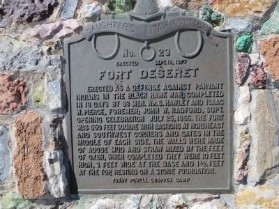
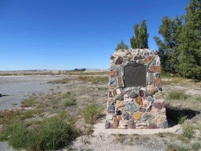
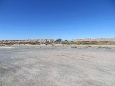
Fort Deseret
Erected 1937 by Fanny Powell Cropper Camp, Daughters of Utah Pioneers. (Marker Number 23.)
Topics and series. This historical marker is listed in this topic list: Forts and Castles. In addition, it is included in the Daughters of Utah Pioneers series list. A significant historical date for this entry is July 25, 1889.
Location. 39° 15.906′ N, 112° 39.196′ W. Marker is near Delta, Utah, in Millard County. Marker is on Utah Route 257, 4.4 miles south of U.S. 6, on the right when traveling south. Touch for map. Marker is in this post office area: Delta UT 84624, United States of America. Touch for directions.
Other nearby markers. At least 8 other markers are within 8 miles of this marker, measured as the crow flies. A different marker also named Fort Deseret (within shouting distance of this marker); Deseret Relief Society Hall (approx. 1.7 miles away); Hinckley Schools (approx. 4.2 miles away); Millard Academy (approx. 4.3 miles away); Pioneer Cabin (approx. 7.2 miles away); McCullough Log House and Post Office (approx. 7.3 miles away); Escalante Trail (approx. 7.3 miles away); Topaz 1942–1946 (approx. 7.3 miles away). Touch for a list and map of all markers in Delta.
Credits. This page was last revised on June 16, 2016. It was originally submitted on October 20, 2013, by Bill Kirchner of Tucson, Arizona. This page has been viewed 652 times since then and 28 times this year. Photos: 1, 2, 3. submitted on October 20, 2013, by Bill Kirchner of Tucson, Arizona. • Syd Whittle was the editor who published this page.


