Bean Station in Grainger County, Tennessee — The American South (East South Central)
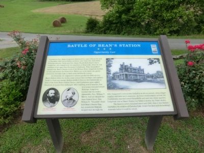
Battle of Bean's Station
Opportunity Lost
On December 14, Longstreetís infantry pushed the Federals into Beanís Station while his cavalry swept around their northern and southern flanks to block any retreat. Federal artillery fired on the Confederates in front of Beanís Station Tavern, and Confederate guns replied. Hundreds of rounds were exchanged. After repelling several assaults, Federal troops retreated toward Rutledge. Longstreet learned that his cavalry commander, Gen. William T. Martin, had not delayed the main Federal force. Gen. William E. “Grumble” Jones held Beanís Station Gap, but resourceful Federals escaped west through the hills. Longstreetís commanders balked at an all-out pursuit, citing meager supplies and their men's weariness. As Union reinforcements arrived, the Confederates marched toward Russellville and went into winter quarters. Longstreet won at Bean's Station, but failed to destroy the Union cavalry.
The historic tavern remained intact until 1940, when it was dismantled before the creation of Cherokee Lake. A later fire destroyed the buildingís materials before it could be rebuilt.
(captions)
Gen. James Longstreet Courtesy Library of Congress
Gen. John G. Parke Courtesy Library of Congress
Beanís Station Tavern by Wendy Leedy, 2010
Erected by Tennessee Civil War Trails.
Topics and series. This historical marker is listed in this topic list: War, US Civil. In addition, it is included in the Tennessee Civil War Trails series list. A significant historical month for this entry is December 1863.
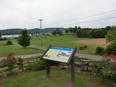
Location. 36° 19.843′ N, 83° 22.097′ W. Marker is in Bean Station, Tennessee, in Grainger County. Marker is at the intersection of U.S. 11W and Bean Station Cemetery Road, on the right when traveling east on U.S. 11W. Touch for map. Marker is at or near this postal address: 5980 Highway 11W South, Bean Station TN 37708, United States of America. Touch for directions.
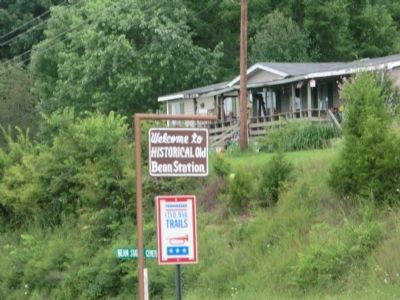
Other nearby markers. At least 8 other markers are within 2 miles of this marker, measured as the crow flies. Bean Station (a few steps from this marker); Bathhouse (approx. 1.3 miles away); Spring House (approx. 1.4 miles away); Grainger County & All Veterans Memorial (approx. 1.9 miles away); Veterans Overlook Memorial (approx. 1.9 miles away); Veterans Overlook (approx. 1.9 miles away); Tennessee Veterans Memorial (approx. 1.9 miles away); East Tennessee Vietnam Conflict Memorial (approx. 1.9 miles away). Touch for a list and map of all markers in Bean Station.
Credits. This page was last revised on June 16, 2016. It was originally submitted on October 20, 2013, by Don Morfe of Baltimore, Maryland. This page has been viewed 1,877 times since then and 114 times this year. Photos: 1, 2, 3. submitted on October 20, 2013, by Don Morfe of Baltimore, Maryland. • Bernard Fisher was the editor who published this page.


