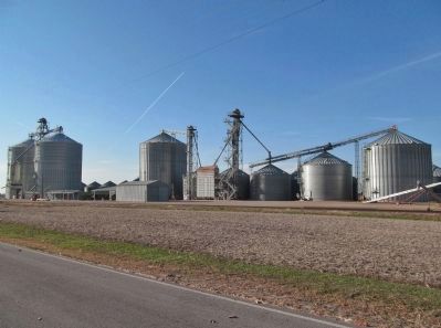
Cobden in Brown County, Minnesota — The American Midwest (Upper Plains)
Cobden
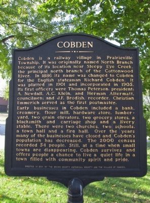
Cobden is a railway village in Prairieville Township. It was originally named North Branch because of its location near Sleepy Eye Creek, the principal north branch of the Cottonwood River. In 1886 its name was changed to Cobden for the English statesman Richard Cobden. It was platted in 1901 and incorporated in 1905. Its first officers were Thomas Peterson, president; A. Newdall, A.C. Klein, and Herman Altermatt, councilmen; and J.F. Brodish, recorder. Christian Emmerich served as the first postmaster.
Early businesses in Cobden included a bank, creamery, flour mill, hardware store, lumberyard, two grain elevators, two grocery stores, a blacksmith and carriage shop and a livery stable. There were two churches, two schools, a town hall and a fire hall. Over the years many of the businesses have closed and Cobden's population has decreased. The 2000 census recorded 54 people. Still, at a time when small towns are disappearing, Cobden survives and offers people a chance to live a quiet life in a town filled with community spirit and pride.
Erected 2001 by the Brown County Historical Society and the Village of Cobden.
Topics. This historical marker is listed in this topic list: Settlements & Settlers. A significant historical year for this entry is 1886.
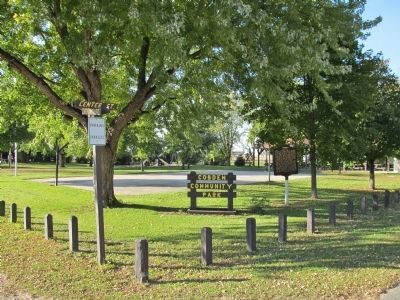
Location. 44° 17.185′ N, 94° 50.959′ W. Marker is in Cobden, Minnesota, in Brown County. Marker is at the intersection of Center Street (County Road 32) and Second Street on Center Street. Marker is in Cobden Community Park. Touch for map. Marker is in this post office area: Sleepy Eye MN 56085, United States of America. Touch for directions.
Other nearby markers. At least 8 other markers are within 7 miles of this marker, measured as the crow flies. Evan (approx. 4.7 miles away); The Attack on the Brown Family (approx. 4.7 miles away); Leavenworth (approx. 5 miles away); Jackson Crossing (approx. 5.1 miles away); Dakota Reservation and the Leavenworth Road (approx. 5.3 miles away); Jonathan Brown and the Shetek Trail (approx. 5.4 miles away); Veterans Memorial (approx. 6.3 miles away); Chief Sleepy Eyes (approx. 6.3 miles away).
Also see . . . Cobden, Minnesota. Wikipedia entry. "The population was 36 at the 2010 census." (Submitted on October 30, 2013.)
Credits. This page was last revised on June 7, 2021. It was originally submitted on October 30, 2013, by Keith L of Wisconsin Rapids, Wisconsin. This page has been viewed 813 times since then and 49 times this year. Photos: 1, 2, 3, 4, 5. submitted on October 30, 2013, by Keith L of Wisconsin Rapids, Wisconsin.
