Placerville in El Dorado County, California — The American West (Pacific Coastal)
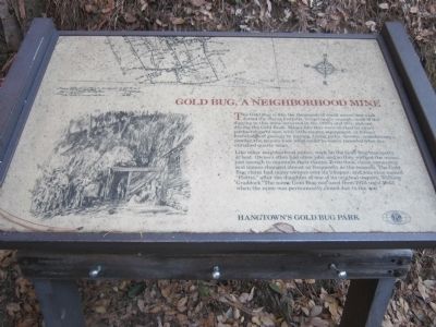
Gold Bug, A Neighborhood Mine
Like other neighborhood mines, work on the Gold Bug was spotty at best. Owners often had other jobs, and so they worked the mines just enough to maintain their claims. Even then, claim ownership and names changed almost as frequently as the seasons. The Gold Bug claim had many owners over its lifespan, and was once named “Hattie,” after the daughter of one of its original owners. William Craddock. The name Gold Bug was used from 1924 until 1942, when the mine was permanently closed do to the war.
Erected by Hangtown's Gold Bug Park - Town of Placerville.
Topics. This historical marker is listed in this topic list: Natural Resources. A significant historical year for this entry is 1924.
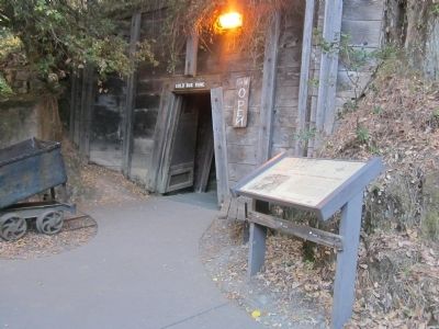
Location. 38° 44.572′ N, 120° 47.982′ W. Marker is in Placerville, California, in El Dorado County. Marker can be reached from Gold Bug Lane east of Bedford Avenue. The marker is located at the entrance to the mine. Touch for map. Marker is at or near this postal address: 2500 Gold Bug Lane, Placerville CA 95667, United States of America. Touch for directions.
Other nearby markers. At least 8 other markers are within walking distance of this marker. Hangtown’s Gold Bug Park (within shouting distance of this marker); The Stamp Mill (about 700 feet away, measured in a direct line); Placerville (approx. 0.9 miles away); Bee-Bennett House (approx. 0.9 miles away); County of El Dorado Courthouse Restoration (approx. 0.9 miles away); Thomas Maul (approx. 0.9 miles away); a different marker also named Placerville (approx. 0.9 miles away); Emigrant Jane (approx. 0.9 miles away). Touch for a list and map of all markers in Placerville.
Photographed By Syd Whittle, October 30, 2013
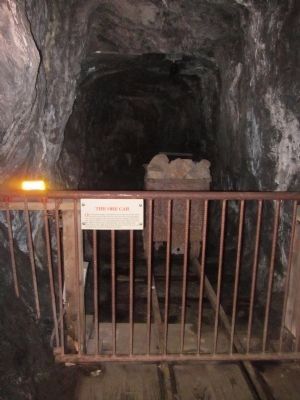
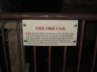
6. The Ore Car
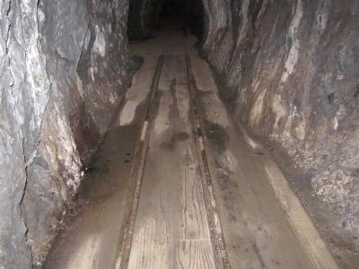
Ore cars were used to transport ore or dirt out of the mine. In small mines like this one, the cars were hand-pushed over narrow gauge scrap iron rails laid on wooded ties. This type of rail system was used throughout this region from the late 1800's. These rails went directly out of the mine and veered off to the right side of the entrance, where the ore was dumped down the hill towards the creek.
Credits. This page was last revised on June 16, 2016. It was originally submitted on October 31, 2013, by Syd Whittle of Mesa, Arizona. This page has been viewed 668 times since then and 30 times this year. Photos: 1, 2, 3, 4, 5, 6, 7, 8. submitted on October 31, 2013, by Syd Whittle of Mesa, Arizona.
