Near Boonsboro in Washington County, Maryland — The American Northeast (Mid-Atlantic)
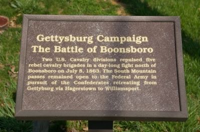
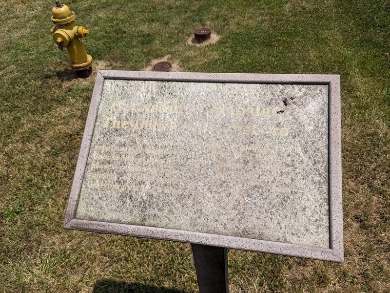
Gettysburg Campaign
The Battle of Boonsboro
Erected by Washington County Historical Advisory Committee.
Topics and series. This historical marker is listed in this topic list: War, US Civil. In addition, it is included in the Maryland, Washington County Historical Advisory Committee series list. A significant historical month for this entry is July 1909.
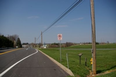
Location. 39° 31.356′ N, 77° 39.68′ W. Marker is near Boonsboro, Maryland, in Washington County. Marker is on Old National Pike (Alternate U.S. 40), on the right when traveling north. Touch for map. Marker is in this post office area: Boonsboro MD 21713, United States of America. Touch for directions.
Other nearby markers. At least 8 other markers are within walking distance of this marker. Stonewall Jackson's Way (approx. 0.2 miles away); Vietnam Memorial (approx. ¼ mile away); World Wars I & II Memorial (approx. ¼ mile away); Korean War Memorial (approx. ¼ mile away); Battle of Boonsboro (approx. 0.3 miles away); Town of Boonsboro (approx. 0.6 miles away); Washington Monument (approx. 0.6 miles away); Boonsboro (approx. one mile away). Touch for a list and map of all markers in Boonsboro.

Photographed By Craig Swain, August 16, 2008
4. Gettysburg Campaign Marker
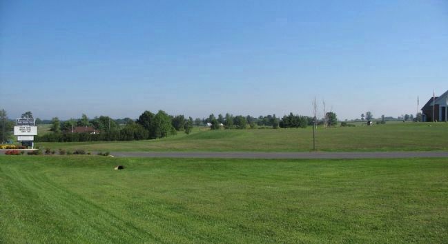
Troops of General John Buford's Federal Cavalry division spread out on the ground around what is today the Boonsboro Family Worship Center. The view from the center's entrance offers a look at the positions held by General J.E.B. Stuart's Confederates on the ridge lines northwest of Boonsboro.
Credits. This page was last revised on August 11, 2023. It was originally submitted on April 10, 2008, by Christopher Busta-Peck of Shaker Heights, Ohio. This page has been viewed 2,209 times since then and 19 times this year. Photos: 1. submitted on April 10, 2008, by Christopher Busta-Peck of Shaker Heights, Ohio. 2. submitted on July 26, 2023, by Mark P Brock-Cancellieri of Baltimore, Maryland. 3. submitted on April 10, 2008, by Christopher Busta-Peck of Shaker Heights, Ohio. 4. submitted on August 23, 2008, by Craig Swain of Leesburg, Virginia.


