Near Fairfax in Nicollet County, Minnesota — The American Midwest (Upper Plains)
Fort Ridgely
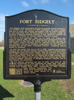
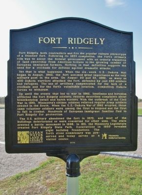
Fort Ridgely both contradicts and fits the popular culture stereotype of a frontier fort. Following its 1855 completion, the Fort’s primary role was to assist the federal government with an orderly transition of land ownership from American Indians to the growing number of European immigrant farmers. Nothing in that definition suggests the need for a stockade for defense against dramatic attacks.
Yet that is what happened. When the six-week U.S.-Dakota War began in August, 1862, the fort assumed great importance as the only military post in the area. On August 20 and 22, 1862, as many as 400 Dakota warriors attacked the fort, defended by just 280 soldiers and refugees. The use of artillery compensated for the lack of a stockade and for the fort’s vulnerable location, compelling Dakota forces to withdraw.
Up until the events that led to war in 1862, loneliness and boredom afflicted the Fort Ridgely soldiers: records described complaints about housekeeping detail and harsh winters. With the outbreak of the Civil War in 1861, Minnesota’s citizen soldiers relieved regular Army soldiers needed in the South. When the U.S.-Dakota War of 1862 erupted, those same volunteer soldiers were among the first to respond and the first to fall in combat. Hundreds of European immigrant families fled to Fort Ridgely for protection.
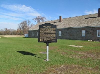
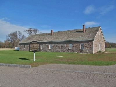
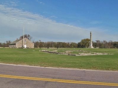
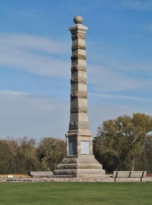
The U.S. military abandoned the fort in 1872, and most of the buildings deteriorated or were converted for other uses. The state erected a battle monument in 1896. In 1911, the Minnesota Legislature created Fort Ridgely State Park. Excavations in 1935 revealed eight building foundations. The fort’s stone commissary was preserved and today serves as a visitor center.
Clean Water, Land & Legacy Amendment
Minnesota Historical Society
Erected 2012 by the Minnesota Historical Society.
Topics and series. This historical marker is listed in these topic lists: Forts and Castles • Native Americans • Settlements & Settlers • Wars, US Indian. In addition, it is included in the Minnesota Historical Society series list. A significant historical year for this entry is 1855.
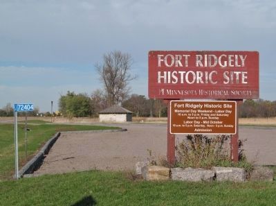
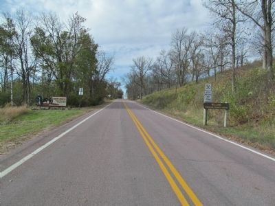
Location. 44° 27.202′ N, 94° 44.106′ W. Marker is near Fairfax, Minnesota, in Nicollet County. Marker is on County Highway 30, 1.1 miles west of State Highway 4, on the right when traveling west. Marker is in Fort Ridgely State Park; fee area – a Minnesota state park vehicle permit is required. Touch for map. Marker is at or near this postal address: 72404 County State Aid Highway 30, Fairfax MN 55332, United States of America. Touch for directions.
Other nearby markers. At least 8 other markers are within walking distance of this marker. A Minority in Their Homeland / U.S.-Dakota Conflict (a
few steps from this marker); This Fort Had a Purpose (a few steps from this marker); Economic Engine (within shouting distance of this marker); Four Days From Fort Snelling (within shouting distance of this marker); Fort Ridgely Closes (within shouting distance of this marker); Reinforcements Arrive (within shouting distance of this marker); Who Lived in the Barracks? (within shouting distance of this marker); Officers' Quarters—C (within shouting distance of this marker). Touch for a list and map of all markers in Fairfax.
More about this marker. A previous historical marker with outdated language was replaced with this marker in 2012. The content of this sign was reviewed by a Minnesota Historical Society historical marker committee, as well as by Dakota consultants and the Minnesota Historical Society Indian Advisory Committee. Funding for the marker provided from the Clean Water, Land and Legacy Amendment through the vote of Minnesotans on November 4, 2008.
Also see . . .
1. Fort Ridgely. Minnesota Historical Society website entry
"Built in 1853 as a police station to keep peace as settlers poured into the former Dakota lands, it withstood several attacks in the U.S.-Dakota War of 1862 and became a training ground for Civil War recruits." (Submitted on November 10, 2013.)
2. Fort Ridgely State Park. Minnesota Department of Natural Resources. (Submitted on November 10, 2013.)
3. The U.S. - Dakota War of 1862. Minnesota Historical Society. (Submitted on November 10, 2013.)
Credits. This page was last revised on July 30, 2023. It was originally submitted on November 10, 2013, by Keith L of Wisconsin Rapids, Wisconsin. This page has been viewed 635 times since then and 49 times this year. Photos: 1, 2, 3, 4, 5, 6, 7, 8. submitted on November 10, 2013, by Keith L of Wisconsin Rapids, Wisconsin.
