Near Lookout Mountain in Hamilton County, Tennessee — The American South (East South Central)
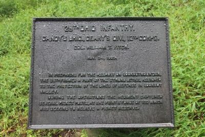
29th Ohio Infantry
Candy's Brigade
— Geary's Division —
Candy's Brig., Geary's Div., 12th Corps.
Col. William T. Fitch.
Nov. 24, 1863.
In preparing for the assault on Lookout Mountain, the 29th formed a part of the strong detail assigned to the protection of the lines of defense in Lookout Valley.
During the operations the Regiment captured several picket posts, at one point a force of 130 which was seeking to relieve a picket reserve.
Erected 1908 by the State of Ohio. (Marker Number MT-276.)
Topics and series. This historical marker is listed in this topic list: War, US Civil. In addition, it is included in the Chickamauga and Chattanooga National Military Park, Lookout Mountain, and the Chickamauga and Chattanooga National Military Park: November 24, 1863 series lists. A significant historical date for this entry is November 25, 1863.
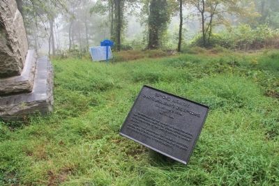
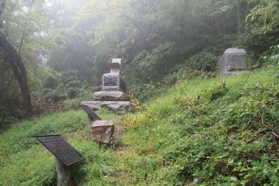
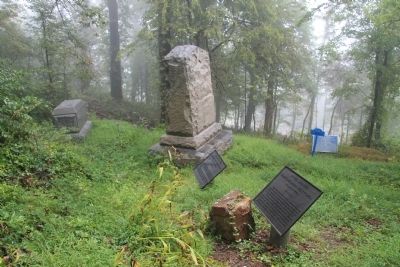
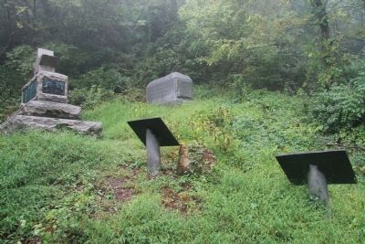
Location. 35° 0.783′ N, 85° 20.553′ W. Marker is near Lookout Mountain, Tennessee, in Hamilton County. Marker can be reached from Shingle Road north of Military Road. This historical marker (tablet) is located on the grounds of the Chickamauga-Chattanooga National Military Park, just north of the grounds of the Cravens' House, in a small cluster of markers and monuments, along a park hiking trail that runs from the Cravens' House, up the slope of the ridge, to Point Park on the summit of Lookout Mountain. According to the location information provided by the National Park Service, “This tablet marker is located at the Cravens Reservation/1934 Map 303". Touch for map. Marker is in this post office area: Lookout Mountain TN 37350, United States of America. Touch for directions.
Other nearby markers. At least 8 other markers are within walking distance of this marker. 147th Pennsylvania Infantry (here, next to this marker); 59th Illinois Infantry (here, next to this marker); 5th Ohio Infantry (here, next to this marker); 28th Pennsylvania Infantry (a few steps from this marker); Candy's Brigade (a few steps from this marker); 13th Illinois Infantry Monument (a few steps from this marker); 96th Illinois Infantry (a few steps from this marker); Carlin's Brigade (within shouting distance of this marker). Touch for a list and map of all markers in Lookout Mountain.
More about this marker. According to the description information provided by the National Park Service, the marker is a, “Bronze inscription tablet with decorative border mounted on low marble pedestal. Describes the unit's activities on November 24, 1863.”
Credits. This page was last revised on September 10, 2020. It was originally submitted on November 12, 2013, by Dale K. Benington of Toledo, Ohio. This page has been viewed 667 times since then and 43 times this year. Photos: 1, 2, 3, 4, 5. submitted on November 12, 2013, by Dale K. Benington of Toledo, Ohio.
