Downtown in Tucson in Pima County, Arizona — The American Mountains (Southwest)
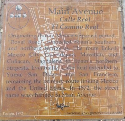
Main Avenue
Calle Real
— El Camino Real —
Erected 2013 by City of Tucson Historic Preservation Office.
Topics. This historical marker is listed in this topic list: Roads & Vehicles. A significant historical year for this entry is 1872.
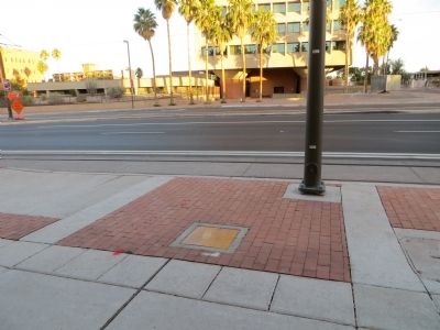
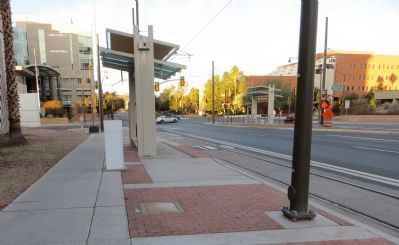
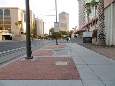
Location. 32° 13.275′ N, 110° 58.515′ W. Marker is in Tucson, Arizona, in Pima County. It is in Downtown. Marker is on West Congress Street, 0.1 miles east of Granada Avenue, on the right when traveling east. Marker is mounted horizontally in the sidewalk on the south side of Congress Street. Touch for map. Marker is at or near this postal address: 203 W Broadway Blvd, Tucson AZ 85701, United States of America. Touch for directions.
Other nearby markers. At least 8 other markers are within walking distance of this marker. Congress Street (within shouting distance of this marker); Pearl Street / Ott Street (within shouting distance of this marker); Arizona's First Public School (about 300 feet away, measured in a direct line); Granada Avenue (about 400 feet away); Presidio Wall Camino Real (about 400 feet away); Southwest Corner of the Presidio (about 400 feet away); Meyer Street (about 400 feet away); Garcés Footbridge (about 500 feet away). Touch for a list and map of all markers in Tucson.
Credits. This page was last revised on June 16, 2016. It was originally submitted on November 13, 2013, by Bill Kirchner of Tucson, Arizona. This page has been viewed 486 times since then and 16 times this year. Photos: 1, 2, 3, 4. submitted on November 13, 2013, by Bill Kirchner of Tucson, Arizona. • Andrew Ruppenstein was the editor who published this page.


