Greenbrier in Limestone County, Alabama — The American South (East South Central)
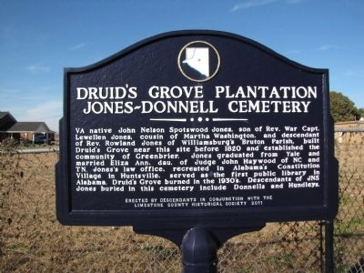
Druid's Grove Plantation / Jones-Donnell Cemetery
Inscription.
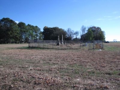
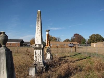
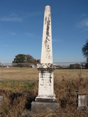
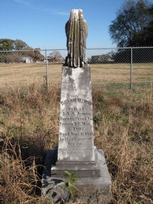
VA native John Nelson Spotswood Jones, son of Rev. War Capt. Lewellen Jones, cousin of Martha Washington, and descendant of Rev. Rowland Jones of Williamsburg's Bruton Parish, built Druid's Grove near this site before 1820 and established the community of Greenbrier. Jones graduated from Yale and married Eliza Ann, dau. of Judge John Haywood of NC and TN. Jones's law office, recreated in Alabama's Constitutional Village in Huntsville, served as the first public library in Alabama. Druid's Grove burned in the 1930's. Descendants of JNS Jones buried in this cemetery include Donnells and Hundleys.
Erected 2011 by Descendants in conjunction with the Limestone County Historical Society.
Topics. This historical marker is listed in these topic lists: Agriculture • Cemeteries & Burial Sites • Settlements & Settlers. A significant historical year for this entry is 1820.
Location. 34° 40.129′ N, 86° 50.722′ W. Marker is in Greenbrier, Alabama, in Limestone County. Marker can be reached from the intersection of Oakwood Lane and Old Highway 20, on the left when traveling south. Marker and cemetery are located in the field behind the Greenbrier Baptist Church (on Greenbrier Road) and the Greenbrier Church of Christ(at the end of Oakwood Lane), and may be reached from the parking lot of either church. Touch for map. Marker is at or near this postal address: 7860 Oakwood Lane, Madison AL 35756, United States of America. Touch for directions.
Other nearby markers. At least 8 other markers are within 4 miles of this marker, measured as the crow flies. Belle Mina / Woodside (approx. 2.6 miles away); Cottonport / Mooresville (approx. 3˝ miles away); Mooresville (approx. 3˝ miles away); Mooresville Brick Church/The Cumberland Presbyterian Church (approx. 3˝ miles away); Historic Homes of Mooresville (approx. 3˝ miles away); Mooresville Alabama (approx. 3˝ miles away); Historic Mooresville (approx. 3˝ miles away); Historic Buildings in Mooresville (approx. 3˝ miles away).
Credits. This page was last revised on August 16, 2020. It was originally submitted on November 15, 2013, by Lee Hattabaugh of Capshaw, Alabama. This page has been viewed 1,369 times since then and 27 times this year. Photos: 1, 2, 3, 4, 5. submitted on November 15, 2013, by Lee Hattabaugh of Capshaw, Alabama. • Bernard Fisher was the editor who published this page.
