Petersburg, Virginia — The American South (Mid-Atlantic)
Fort Stedman
Petersburg National Battlefield
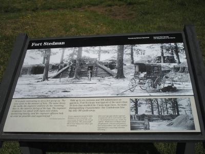
It is quite interesting to see a fort going up. The men work in the manner of bees. The mass throw the earth; the engineer soldiers do the ‘rivetting,’ that is, the interior facing the logs. The engineer sergeants run about with tapes and stakes, measuring busily; and the engineer officers look as wise as possible and superintend.
- Col. Theodore Lyman, USA
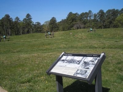
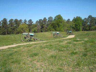
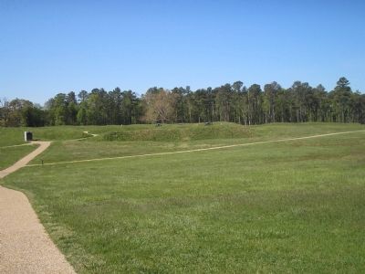
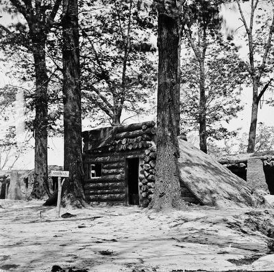
With up to six cannons and 300 infantrymen as garrison, Fort Stedman was typical of the more than 30 forts that studded the Union siege lines. Its main distinguishing characteristic: the Confederate line lay only 300 yards away.
(captions)
Union engineers elected to leave Stedman’s trees standing—an uncommon luxury for the troops stationed here. The photograph above was taken from where you are standing.
Dirt and logs gave shelter against Confederate shells and bullets. Life in the fortifications was, wrote one soldier, “Endurance without relief; sleeplessness without exhilaration; inactivity without rest; and constant apprehension requiring ceaseless watching.”
Erected by National Park Service, U.S. Department of the Interior.
Topics. This historical marker is listed in this topic list: War, US Civil.
Location. 37° 13.892′ N, 77° 22.18′ W. Marker is in Petersburg, Virginia. Marker is on Siege Road, on the right when traveling south. Marker is in Petersburg National Battlefield on the Auto Tour Road at Tour Stop 5. Touch for map. Marker is in this post office area: Petersburg VA 23803, United States of America. Touch for directions.
Other nearby markers. At least 8 other markers are within walking distance of this marker. A different marker also named Fort Stedman (a few steps from this marker); A Final Effort (within shouting distance of this marker); Siege of Petersburg—Lee Strikes Back (within shouting distance of this marker); Prince George Court House Road (about 400 feet away, measured in a direct line); Wasted Valor (about 700 feet away); First Maine Heavy Artillery Monument (approx. 0.2 miles away); Colquitt's Salient (approx. 0.2 miles away); Lee's Last Offensive (approx. 0.2 miles away). Touch for a list and map of all markers in Petersburg.
Also see . . .
1. Battle of Fort Stedman. National Park Service Petersburg National Battlefield website entry (Submitted on April 12, 2008, by Bill Coughlin of Woodland Park, New Jersey.)
2. The Battle of Fort Stedman: March 25, 1865. The Siege of Petersburg Online. (Submitted on April 12, 2008.)
Credits. This page was last revised on March 6, 2024. It was originally submitted on April 12, 2008, by Bill Coughlin of Woodland Park, New Jersey. This page has been viewed 2,466 times since then and 25 times this year. Last updated on August 30, 2021, by Bradley Owen of Morgantown, West Virginia. Photos: 1, 2, 3, 4. submitted on April 12, 2008, by Bill Coughlin of Woodland Park, New Jersey. 5. submitted on October 11, 2015. • Bernard Fisher was the editor who published this page.
