Near Shingletown in Shasta County, California — The American West (Pacific Coastal)
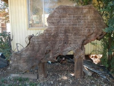
Charlie’s Place
Erected 1983 by E Clampus Vitus, Trinitarianus Chapter No. 62.
Topics and series. This historical marker is listed in these topic lists: Roads & Vehicles • Settlements & Settlers. In addition, it is included in the E Clampus Vitus series list. A significant historical year for this entry is 1849.
Location. 40° 30.392′ N, 121° 57.285′ W. Marker is near Shingletown, California, in Shasta County. Marker can be reached from California Highway 44 south of Ogburn Road, on the left when traveling west. Touch for map. Marker is at or near this postal address: 29699 California Highway 44, Shingletown CA 96088, United States of America. Touch for directions.
Other nearby markers. At least 8 other markers are within 7 miles of this marker, measured as the crow flies. Nobles Trail – Charley’s Ranch (approx. ¼ mile away); Inwood School (approx. 1.2 miles away); Nobles Trail - Shingletown (approx. 3.6 miles away); Shingletown Store (approx. 3.6 miles away); Nobles Emigrant Trail (approx. 3.7 miles away); Noble’s Bungalow (approx. 5.3 miles away); Nobles Trail - Foot of the Mountain Station (approx. 5.8 miles away); Manton Store (approx. 6.7 miles away). Touch for a list and map of all markers in Shingletown.
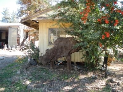
More about this marker. This marker is located on private property.
Credits. This page was last revised on June 16, 2016. It was originally submitted on November 22, 2013, by Barry Swackhamer of Brentwood, California. This page has been viewed 651 times since then and 19 times this year. Photos: 1, 2. submitted on November 22, 2013, by Barry Swackhamer of Brentwood, California. • Syd Whittle was the editor who published this page.

