Lake Louise in Banff National Park, Alberta — Canada’s Prairie Region (North America)
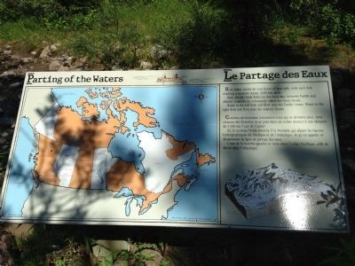
Parting of the Waters
Le Partage des Eaux
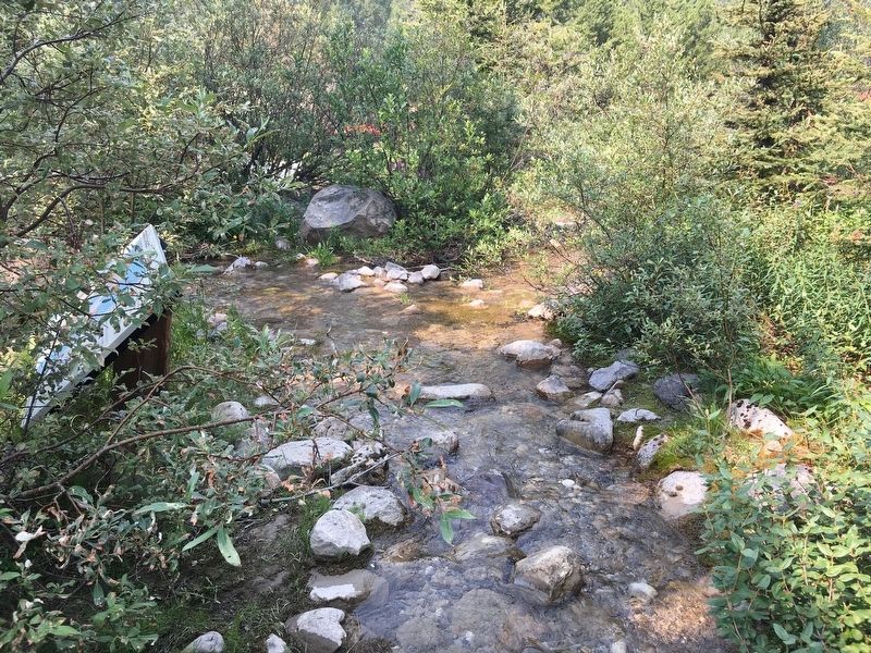
How many creeks do you know of that split, with each fork reaching a separate ocean, 4500 km apart. Here, Divide Creek forks on the boundary between Pacific and Atlantic watersheds, commonly called the Great Divide. Water in the left fork will flow into the Pacific Ocean. Water in the right fork will flow into the Atlantic Ocean.
Erected by Yoho National Park Interpretive Service.
Topics. This historical marker is listed in these topic lists: Natural Features • Notable Places • Waterways & Vessels. A significant historical year for this entry is 1913.
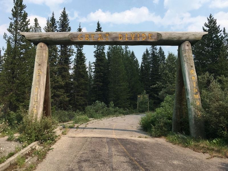
Location. 51° 27.055′ N, 116° 10.748′ W. Marker is in Lake Louise, Alberta, in Banff National Park. Marker can be reached from The former Highway 1A (the old Trans-Canada), 3.2 kilometers east of Lake O'Hara parking lot, on the left when traveling east. Located on a section of the former Highway 1A, which is now closed to vehicles and is part the Great Divide hiking trail. You can access the marker by parking at the Lake O'Hara parking lot and then walking about 3 km to the Great Divide on the BC/Alberta border (aka Kicking Horse Pass). There is an impressive wooden arch over the old highway, right at the pass. Next to the arch is an old rest stop on the north side of the road. Touch for map . Marker is in this post office area: Lake Louise AB T0L 1E0, Canada. Touch for directions.
Other nearby markers. At least 3 other markers are within 8 kilometers of this marker, measured as the crow flies. Lake Louise-Welcome (approx. 2.8 kilometers away); Chateau Lake Louise (approx. 4.6 kilometers away); Kicking Horse Pass (approx. 7.5 kilometers away in British Columbia).
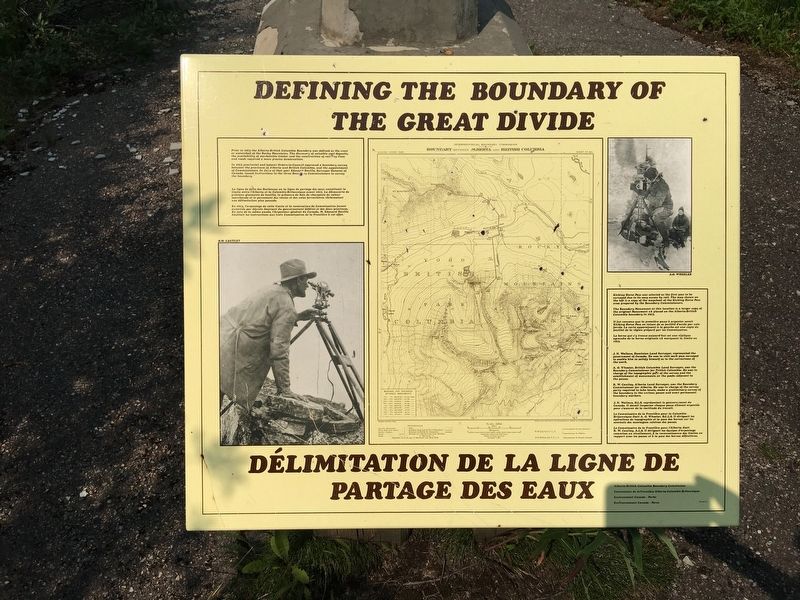
More about this marker. From the rest stop, there is a very short trail to a small creek called Divide Creek. The creek splits in half, with one half going to the Atlantic Ocean and the other going to the Pacific. The marker is located right at this "parting of the waters." Nearby are a few related markers explaining the historical, geological, and political significance of the Great Divide.

Photographed By Mike Crump, July 24, 2021
4. The Great Divide arch
This is the wooden arch over the former Highway 1A at the location of the Great Divide. To the left is an old rest stop, now being reclaimed by vegetation. A short path from the rest stop leads to Divide Creek and the "Parting of the Waters" marker.
Credits. This page was last revised on January 22, 2022. It was originally submitted on November 27, 2013, by Tom Fuchs of Greenbelt, Maryland. This page has been viewed 1,231 times since then and 95 times this year. Last updated on July 24, 2021, by Mike Crump of North Vancouver, British Columbia. Photos: 1. submitted on November 27, 2013, by Tom Fuchs of Greenbelt, Maryland. 2, 3, 4. submitted on July 25, 2021, by Mike Crump of North Vancouver, British Columbia. • Bill Pfingsten was the editor who published this page.


