Near Waynesville in Haywood County, North Carolina — The American South (South Atlantic)
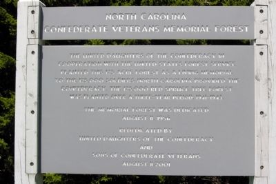
North Carolina Confederate Veterans Memorial Forest
Inscription.
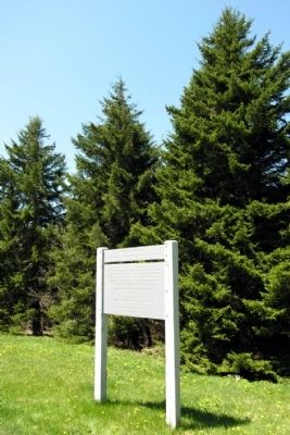
The United Daughters of the Confederacy in cooperation with the United States Forest Service planted this 125 acre forest as a living memorial to the 125,000 soldiers North Carolina provided the Confederacy. The 125,000 Red Spruce tree forest was planted over a three-year period, 1941-1943.
The Memorial Forest was dedicated August 11, 1956
Rededicated by United Daughters of the Confederacy and Sons of Confederate Veterans August 11, 2001
Erected 2001 by United Daughters of the Confederacy and Sons of Confederate Veterans.
Topics and series. This memorial is listed in these topic lists: Horticulture & Forestry • War, US Civil. In addition, it is included in the Blue Ridge Parkway, the Sons of Confederate Veterans/United Confederate Veterans, and the United Daughters of the Confederacy series lists.
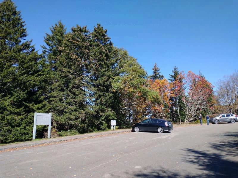
Location. 35° 18.164′ N, 82° 54.298′ W. Marker is near Waynesville, North Carolina, in Haywood County. Memorial is on Blue Ridge Parkway (at milepost 422.8), on the left when traveling east. Touch for map. Marker is in this post office area: Canton NC 28716, United States of America. Touch for directions.
Other nearby markers. At least 8 other markers are within 8 miles of this marker, measured as the crow flies. Devil's Courthouse (approx. 0.4 miles away); Restoring A Forest (approx. 0.4 miles away); Forest Decline (approx. 3.8 miles away); Highest Elevation on Blue Ridge Parkway (approx. 3.8 miles away); Looking Glass Rock (approx. 4˝ miles away); a different marker also named Looking Glass Rock (approx. 7.2 miles away); Civilian Conservation Corps (approx. 7.6 miles away); Getting Out the Timber (approx. 7.7 miles away).
Related markers. Click here for a list of markers that are related to this marker. North Carolina Confederate Veterans Memorial Forest
Credits. This page was last revised on October 29, 2023. It was originally submitted on December 6, 2013, by Duane Hall of Abilene, Texas. This page has been viewed 1,144 times since then and 78 times this year. Last updated on September 18, 2018, by Cosmos Mariner of Cape Canaveral, Florida. Photos: 1, 2. submitted on December 6, 2013, by Duane Hall of Abilene, Texas. 3. submitted on October 22, 2023, by Tom Bosse of Jefferson City, Tennessee. • Andrew Ruppenstein was the editor who published this page.


