Accokeek in Prince George's County, Maryland — The American Northeast (Mid-Atlantic)
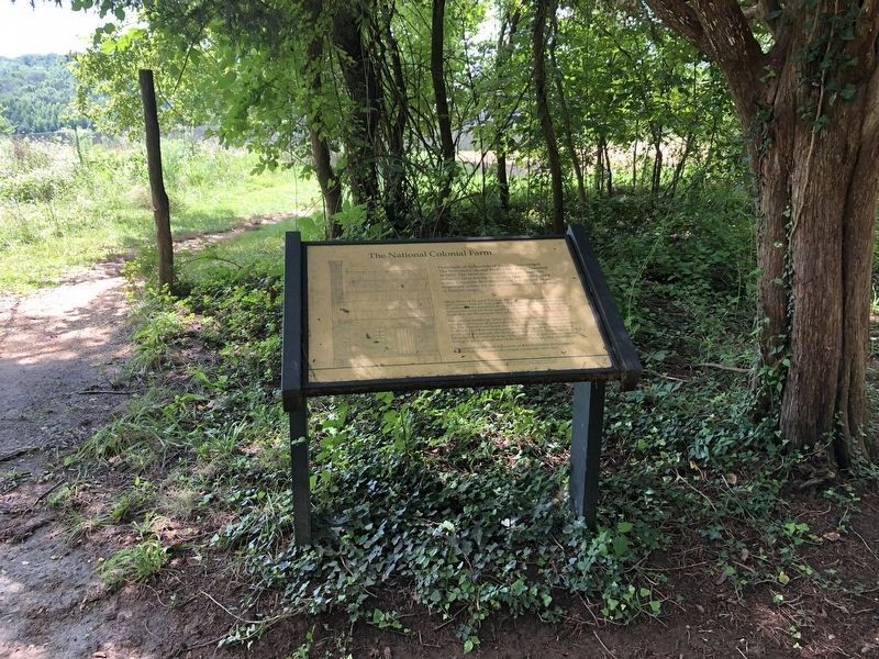
The National Colonial Farm
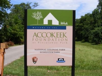
Accokeek Foundation at Piscataway Park
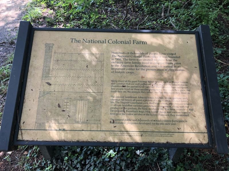
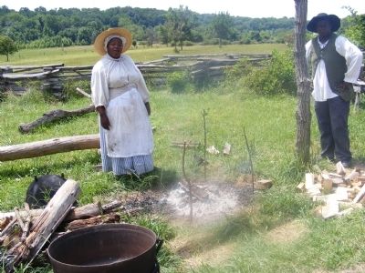
Hundreds of thousands of people have visited The National Colonial Farm since it was founded in 1958. The farm was created to show how the ordinary farm family lived in colonial times prior to the American Revolution and has served as an important center for the preservation of rare strains of historic crops.
While many of the great Potomac River estates, such as Mount Vernon and Gunston Hall are well preserved today, most of the small tobacco plantations of the period have vanished. The Colonial Farm addresses how people lived on these smaller plantations: the crops they grew, the foods they ate, the animals they raised, and the structures they lived in.
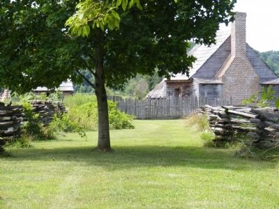
The colonial farmhouse, tobacco house, kitchen, crops, gardens, and chestnut rail fences all paint a picture of a rural, often isolated family life. The Virginia Gourdseed corn, Red May wheat, and Orinoco tobacco—all rare heirloom varieties grown here---represent, along with the produce of the gardens, the basic staples of life. The farm animals---Red Devon cattle, Razorback hogs, Hog Island sheep, and various types of fowl give the visitor an idea of the kinds of animals they maintained.
The general public and thousands of school children participate in the education programs developed for the site each year. The National Colonial Farm is a project of the Accokeek Foundation and is supported with grants from the National Park Service, private foundation and contributions from the general public.
Erected by Accokeek Foundation at Piscataway Park.
Topics. This historical marker is listed in these topic lists: Agriculture • Colonial Era. A significant historical year for this entry is 1958.
Location. 38° 41.701′ N, 77° 3.989′ W. Marker is in Accokeek, Maryland, in Prince George's County. Marker is on Bryan Point Road (Entrance to the Park). Touch for map. Marker is in this post office area: Accokeek MD 20607, United States of America. Touch for directions.
Other nearby markers. At least 8 other markers are within walking distance of this marker. The Hon. Frances Payne Bolton (a few steps from this marker); The Potomac Heritage (within shouting distance of this marker); Cherished Homeland (within shouting distance of this marker); John Smith Explores the Chesapeake (within shouting distance of this marker); Join the Adventure (within shouting distance of this marker); People Shaping the Land (within shouting distance of this marker); Welcome to the Visitor Center (about 300 feet away, measured in a direct line); Land Shaping People (about 300 feet away). Touch for a list and map of all markers in Accokeek.
Credits. This page was last revised on August 14, 2020. It was originally submitted on December 6, 2013, by Don Morfe of Baltimore, Maryland. This page has been viewed 584 times since then and 21 times this year. Photos: 1. submitted on August 14, 2020, by Devry Becker Jones of Washington, District of Columbia. 2. submitted on December 6, 2013, by Don Morfe of Baltimore, Maryland. 3. submitted on August 14, 2020, by Devry Becker Jones of Washington, District of Columbia. 4, 5, 6. submitted on December 6, 2013, by Don Morfe of Baltimore, Maryland. • Bill Pfingsten was the editor who published this page.
