Petersburg, Virginia — The American South (Mid-Atlantic)
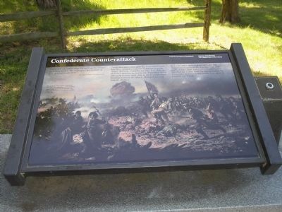
Confederate Counterattack
Inscription.
“I counted 21 Union flags flying from the Crater and these works. The sight gave me no hope of ever getting away alive.”
- Capt. James E. Phillips, 12th Virginia Infantry
Union disorganization gave the Confederates the time they needed to respond to the crisis at the Crater. At 9 a.m., Confederate Brig. Gen. William Mahone’s division rushed to the depression about 200 yards to your right. Just as the Federals were forming to renew the attack, Mahone’s leading brigade charged.
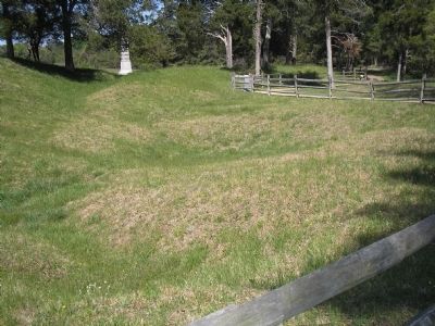
In a wild melee against great odds, the 800 Virginians recaptured the trenches here, just north of the Crater. Later, other Confederates attacked the Crater itself. By mid-afternoon the Crater and its surrounding works were again in Confederate hands.
Erected by Petersburg National Battlefield - National Park Service - Dept. of the Interior.
Topics. This historical marker is listed in this topic list: War, US Civil.
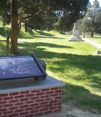
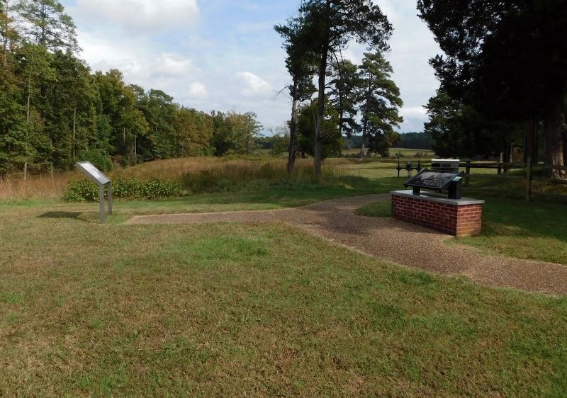
Location. 37° 13.114′ N, 77° 22.65′ W. Marker is in Petersburg, Virginia. Marker can be reached from Siege Road. Marker is in Petersburg National Battlefield. It is located on a walking trail that starts at Tour Stop 8. Touch for map. Marker is in this post office area: Petersburg VA 23803, United States of America. Touch for directions.
Other nearby markers. At least 8 other markers are within walking distance of this marker. “A Stupendous Failure” (here, next to this marker); The Crater (here, next to this marker); Crater of Mine (here, next to this marker); Confederate Countermine (a few steps from this marker); Mahone (within shouting distance of this marker); Second Pennsylvania Veteran Heavy Artillery (within shouting distance of this marker); Union High Tide (within shouting distance of this marker); South Carolina (within shouting distance of this marker). Touch for a list and map of all markers in Petersburg.
More about this marker. The background of the marker is a picture of the fighting in this area with the caption The attack of Weisiger’s Brigade, showing the fighting on the ground where you are now standing. The bulging rim of the Crater is visible to the left.
Also see . . . Petersburg National Battlefield. National Park Service. (Submitted on April 13, 2008, by Bill Coughlin of Woodland Park, New Jersey.)
Credits. This page was last revised on February 2, 2023. It was originally submitted on April 13, 2008, by Bill Coughlin of Woodland Park, New Jersey. This page has been viewed 1,373 times since then and 21 times this year. Last updated on November 1, 2021, by Bradley Owen of Morgantown, West Virginia. Photos: 1, 2. submitted on April 13, 2008, by Bill Coughlin of Woodland Park, New Jersey. 3. submitted on November 1, 2021, by Bradley Owen of Morgantown, West Virginia. 4. submitted on April 13, 2008, by Bill Coughlin of Woodland Park, New Jersey. • J. Makali Bruton was the editor who published this page.


