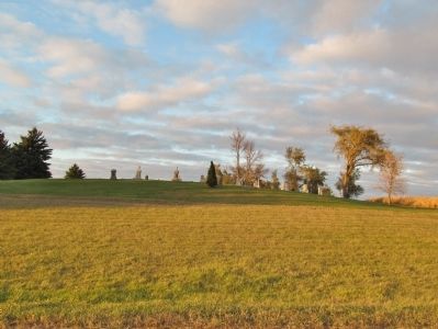
Near Greenleaf in Meeker County, Minnesota — The American Midwest (Upper Plains)
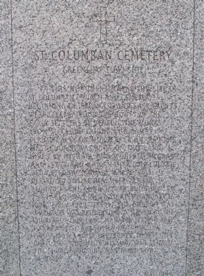
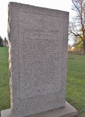
St. Columban Cemetery
Greenleaf Township
This monument marks the site of St. Columban Church and Cemetery. Beginning in 1858, mass and sacraments were celebrated in the homes of the early settlers by Benedictine Monks from St. Cloud friory, who came periodically on horseback. In 1869 the first church was built on this land given by Michael and Winifred McGraw and Lewis and Mary Maher. The church dedicated on January 4, 1870, was destroyed by fire November 23, 1880. A second frame church was built in 1889. The parish was incorporated January 17, 1896. From 1922 to 1937 the church was unused. It was reopened and served by the Church of Our Lady, Manannah from 1937 to 1960, by St. Anastasia, Hutchinson 1960-1965, and St. Gertrudes, Forest City until 1971 when the mission was closed. The church building was taken down in 1985.
Erected 1989.
Topics. This historical marker is listed in these topic lists: Cemeteries & Burial Sites • Churches & Religion. A significant historical month for this entry is January 1955.
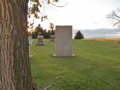
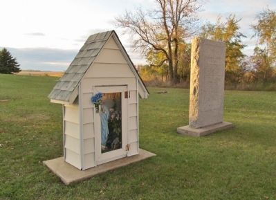
Location. 44° 59.695′ N, 94° 32.284′ W. Marker is near Greenleaf, Minnesota, in Meeker County. Marker can be reached from County Road 18, 1.8 miles west of State Highway 22, on the right when traveling west. Marker is in St. Columban Cemetery. Touch for map. Marker is in this post office area: Litchfield MN 55355, United States of America. Touch for directions.
Other nearby markers. At least 8 other markers are within 9 miles of this marker, measured as the crow flies. Daniel A. Cross (approx. 4.3 miles away); Ness Lutheran Church (approx. 7.7 miles away); Ness Cemetery State Monument (approx. 7.7 miles away); Legion Memorial Park (approx. 7.7 miles away); Chief Little Crow (approx. 7.8 miles away); Civil War Monument (approx. 8 miles away); Andreas Olson (approx. 8.1 miles away); Battle of Acton (approx. 8.6 miles away).
Credits. This page was last revised on June 16, 2016. It was originally submitted on December 15, 2013, by Keith L of Wisconsin Rapids, Wisconsin. This page has been viewed 679 times since then and 19 times this year. Photos: 1, 2, 3, 4, 5. submitted on December 15, 2013, by Keith L of Wisconsin Rapids, Wisconsin.
