El Presidio in Tucson in Pima County, Arizona — The American Mountains (Southwest)
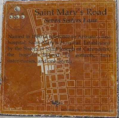
Saint Mary’s Road
Seven Sisters Lane
Erected 2013 by City of Tucson Historic Preservation Office.
Topics. This historical marker is listed in this topic list: Roads & Vehicles. A significant historical year for this entry is 1880.
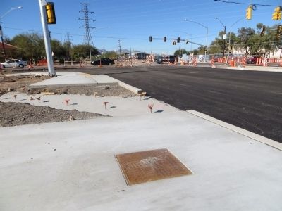
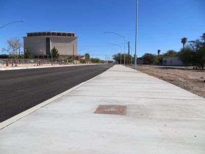
Location. 32° 13.649′ N, 110° 58.668′ W. Marker is in Tucson, Arizona, in Pima County. It is in El Presidio. Marker is at the intersection of Saint Marys Road and North Granda Avenue, on the right when traveling east on Saint Marys Road. Marker is mounted horizontally in the sidewalk on the southeast corner of the intersection. Touch for map. Marker is at or near this postal address: 459 N Granada Ave, Tucson AZ 85701, United States of America. Touch for directions.
Other nearby markers. At least 8 other markers are within walking distance of this marker. Mansions of Main Avenue (approx. ¼ mile away); Presidio Wall (approx. ¼ mile away); N. W. Corner Adobe Wall of Spanish Presidio of Tucson (approx. ¼ mile away); Presidio San Agustín del Tucson (approx. ¼ mile away); Council Street (approx. ¼ mile away); Franklin Avenue (approx. ¼ mile away); Leonardo Romero House (approx. ¼ mile away); Meyer Street (approx. 0.3 miles away). Touch for a list and map of all markers in Tucson.
Credits. This page was last revised on June 16, 2016. It was originally submitted on December 17, 2013, by Bill Kirchner of Tucson, Arizona. This page has been viewed 614 times since then and 16 times this year. Photos: 1, 2, 3. submitted on December 17, 2013, by Bill Kirchner of Tucson, Arizona. • Andrew Ruppenstein was the editor who published this page.


