Cambria in Niagara County, New York — The American Northeast (Mid-Atlantic)
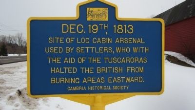
DEC. 19th, 1813
Inscription.
DEC. 19th, 1813. Site of log cabin arsenal used by settlers, who with the aid of the Tuscaroras halted the British from burning areas eastward.
Erected by Cambria Historical Society.
Topics. This historical marker is listed in these topic lists: Native Americans • War of 1812. A significant historical date for this entry is December 19, 1813.
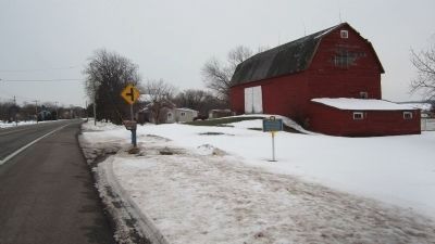
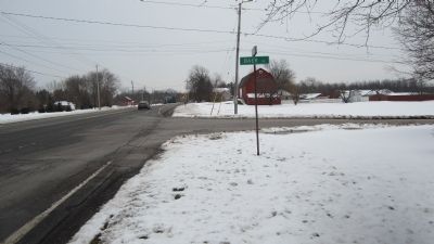
Location. 43° 12.169′ N, 78° 51.255′ W. Marker is in Cambria, New York, in Niagara County. Marker is at the intersection of Ridge Road (New York State Route 104) and Baer Road, on the right when traveling east on Ridge Road. Touch for map. Marker is in this post office area: Ransomville NY 14131, United States of America. Touch for directions.
Other nearby markers. At least 8 other markers are within 4 miles of this marker, measured as the crow flies. Howell's Tavern (approx. ¾ mile away); North Ridge Methodist Episcopal Church (approx. 1½ miles away); Soldier's Memorial (approx. 2.4 miles away); 1848 Root House (approx. 2½ miles away); Fowler Sawmill (approx. 3.4 miles away); Ransomville Schools (approx. 3.4 miles away); Randall Road Cemetery (approx. 3½ miles away); The Site Of Niagara Poultry Farm (approx. 3½ miles away). Touch for a list and map of all markers in Cambria.
More about this marker. Funding for this marker was secured in 2012.
Regarding DEC. 19th, 1813. British forces captured Fort Niagara early that same day; see link.
Also see . . . Capture of Fort Niagara - Wikipedia. (Submitted on December 21, 2013, by Anton Schwarzmueller of Wilson, New York.)
Credits. This page was last revised on January 27, 2019. It was originally submitted on December 21, 2013, by Anton Schwarzmueller of Wilson, New York. This page has been viewed 678 times since then and 16 times this year. Photos: 1, 2, 3. submitted on December 21, 2013, by Anton Schwarzmueller of Wilson, New York. • Bill Pfingsten was the editor who published this page.


