Wheeling in Ohio County, West Virginia — The American South (Appalachia)
Slave Auction Block
"Sold down river"
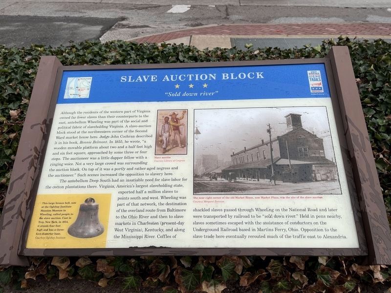
Although the residents of the western part of Virginia owned far fewer slaves than their counterparts to the east, antebellum Wheeling was part of the social and political fabric of slaveholding Virginia. A slave-auction block stood at the northwestern corner of the Second Ward market house here. Judge John Cochran described it in his book, Bonnie Belmont. In 1855, he wrote, "a wooden movable platform about two and a half feet high and six feed square, approached by some three or four steps. The auctioneer was a little dapper fellow with a ringing voice. Not a very large crowd was surrounding the auction block. On top of it was a portly and rather aged negress and the auctioneer." Such scenes increased the opposition to slavery here.
The antebellum Deep South had an insatiable need for slave labor for the cotton plantations there. Virginia, America's largest slaveholding state, exported half a million slaves to points south and west. Wheeling was part of that network, the destination of the overland route from Baltimore to the Ohio River and then to slave markets in Charleston (present-day West Virginia), Kentucky, and along the Mississippi River. Coffles of shackled slaves passed through Wheeling on the National Road and later were transported by railroad to be "sold down river." Held in pens nearby, slaves sometimes escaped with the assistance of conductors on the Underground Railroad based in Martins Ferry, Ohio. Opposition to the slave trade here eventually rerouted much of the traffic east to Alexandria.
[Caption:]
This large bronze bell, now at the Oglebay Institute Mansion Museum in Wheeling, called people to the slave auction. Cast in Troy, New York, in 1854, it stands four feet high and has a three-foot-diameter base.
Erected by West Virginia Civil War Trails.
Topics and series. This historical marker is listed in these topic lists: Abolition & Underground RR • African Americans • Industry & Commerce • War, US Civil. In addition, it is included in the Historic Bells, and the West Virginia Civil War Trails series lists. A significant historical year for this entry is 1855.
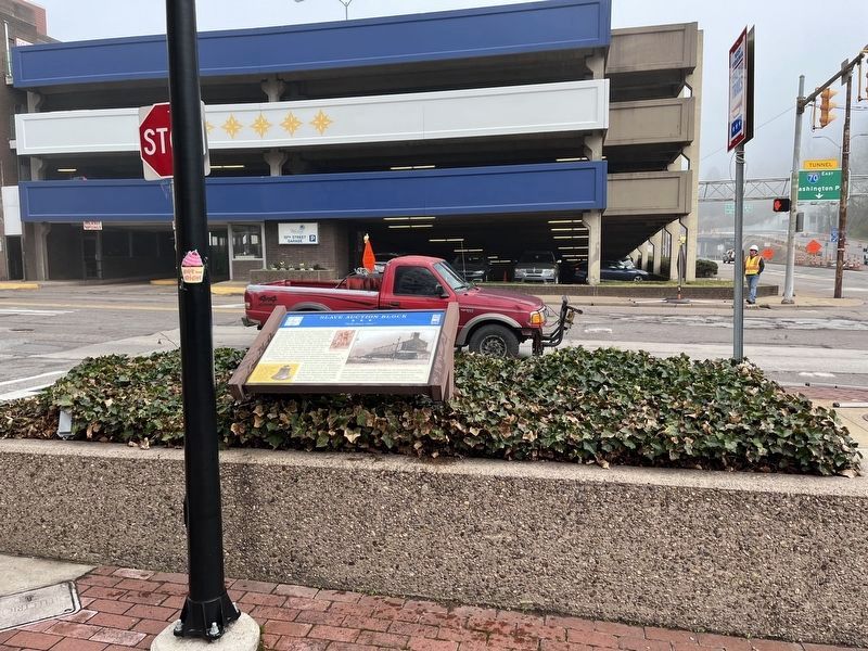
Location. 40° 4.226′ N, 80° 43.393′ W. Marker is in Wheeling, West Virginia, in Ohio County. Marker is at the intersection of 10thStreet (U.S. 40) and Market Street (West Virginia Route 2), on the left when traveling west on 10thStreet. Touch for map. Marker is in this post office area: Wheeling WV 26003, United States of America. Touch for directions.
Other nearby markers. At least 8 other markers are within walking distance of this marker. Wheeling Suspension Bridge (about 400 feet away, measured in a direct line); Old Trails Road (about 500 feet away); Robert W. Hazlett House
(about 500 feet away); Wheeling Suspension Bridge - 1849 (about 500 feet away); The Siege of Fort Henry (about 600 feet away); a different marker also named Wheeling Suspension Bridge (about 600 feet away); Wheeling (about 600 feet away); Fort Henry (about 600 feet away). Touch for a list and map of all markers in Wheeling.
Additional keywords. human trafficking
Credits. This page was last revised on April 24, 2022. It was originally submitted on January 1, 2014, by Allen C. Browne of Silver Spring, Maryland. This page has been viewed 2,550 times since then and 108 times this year. Photos: 1. submitted on April 24, 2022, by Devry Becker Jones of Washington, District of Columbia. 2. submitted on January 1, 2014, by Allen C. Browne of Silver Spring, Maryland. 3. submitted on April 24, 2022, by Devry Becker Jones of Washington, District of Columbia. • Bernard Fisher was the editor who published this page.


