New Albany in Floyd County, Indiana — The American Midwest (Great Lakes)
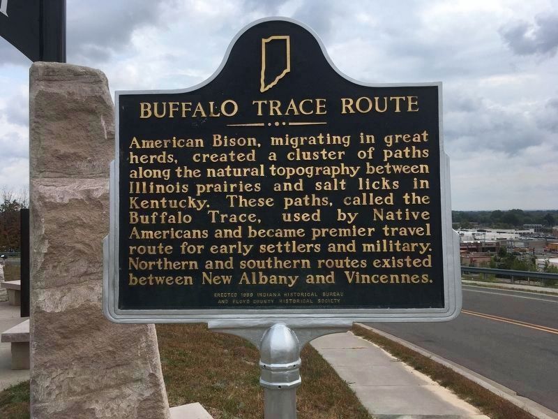
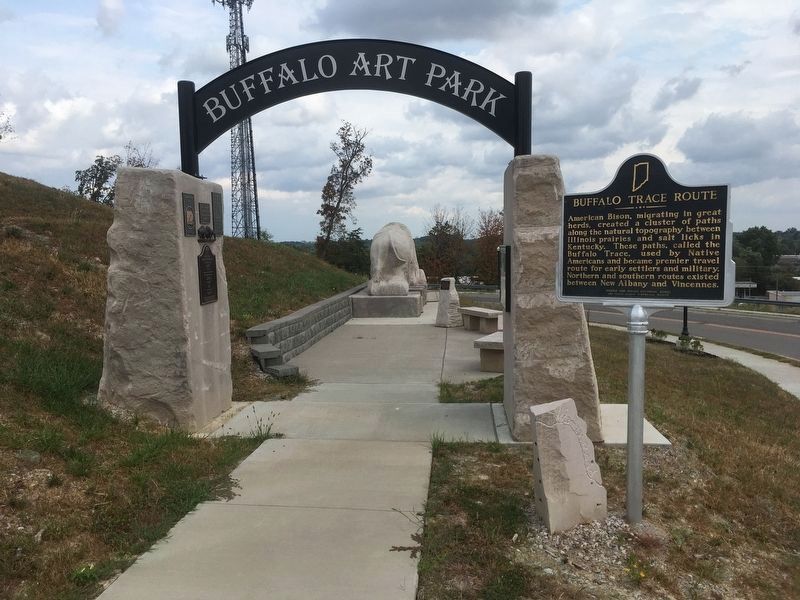
Buffalo Trace Route
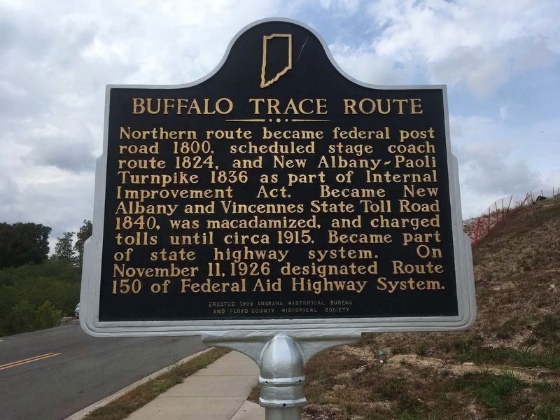
[Reverse Side]
Northern route became Federal post road 1800, scheduled stage coach route 1824, and New Albany-Paoli Turnpike 1836 as part of Internal Improvement Act. Became New Albany and Vincennes State Toll Road 1840, was macadamized, and charged tolls until circa 1915. Became part of state highway system. On November 11, 1926 designated Route 150 of Federal Aid Highway System.
Erected 1999 by The Indiana Historical Bureau & the Floyd County Historical Society. (Marker Number 22.1999.1.)
Topics and series. This historical marker is listed in these topic lists: Animals • Native Americans • Roads & Vehicles. In addition, it is included in the Indiana Historical Bureau Markers series list. A significant historical month for this entry is November 2004.
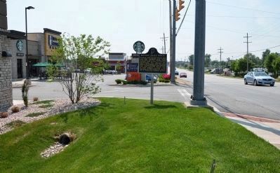
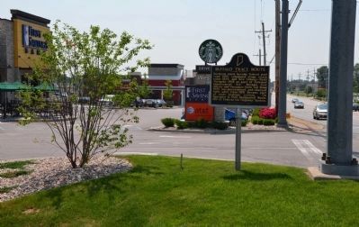
Location. 38° 18.39′ N, 85° 50.67′ W. Marker is in New Albany, Indiana, in Floyd County. Marker is on State Street , 0.2 miles south of West Daisy Lane, on the right when traveling south. Marker is on the grounds of Buffalo Art Park. Touch for map. Marker is at or near this postal address: 2303 State Street, New Albany IN 47150, United States of America. Touch for directions.
Other nearby markers. At least 8 other markers are within 2 miles of this marker, measured as the crow flies. Woodbine (approx. 1.1 miles away); New Albany Tornado, 1917 (approx. 1.3 miles away); New Albany and Salem Railroad (The Monon) (approx. 1.6 miles away); Calumet Club (approx. 1.7 miles away); Fairview Cemetery (approx. 1.7 miles away); Silver Hills Trolley Car Line (approx. 1.8 miles away); New Albany (approx. 1.8 miles away); City-County Building (approx. 1.8 miles away). Touch for a list and map of all markers in New Albany.
Credits. This page was last revised on October 10, 2019. It was originally submitted on January 14, 2014, by Karl Stelly of Gettysburg, Pennsylvania. This page has been viewed 990 times since then and 44 times this year. Photos: 1, 2. submitted on October 10, 2019, by W. O. Stark of Indianapolis, Indiana. 3, 4. submitted on January 14, 2014, by Karl Stelly of Gettysburg, Pennsylvania. 5. submitted on October 10, 2019, by W. O. Stark of Indianapolis, Indiana. 6, 7. submitted on June 8, 2014, by Karl Stelly of Gettysburg, Pennsylvania. • William J. Toman was the editor who published this page.
