Englewood in Bergen County, New Jersey — The American Northeast (Mid-Atlantic)
De Mott – Westervelt House
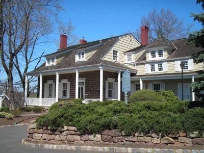
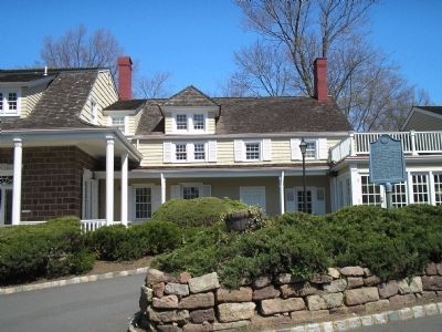
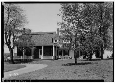
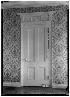
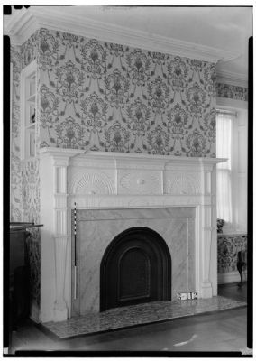
Built about 1808 by Henry DeMott, this sandstone Dutch Colonial house was once attached to the pre-Revolutionary homestead of Albert Lydecker. Material from the older house used in the present frame wing built c. 1810 by Peter Westervelt. The Westervelt family owned the homestead until 1936. Adjacent Dutch Barn is an adaptation of the European “bouwhuys”, or farmhouse, where men and cattle lived under one roof.
Sponsored by the Englewood Bicentennial Committee. 1976
Erected 1976 by Bergen County Historical Society. (Marker Number 72.)
Topics and series. This historical marker is listed in these topic lists: Agriculture • Animals • Colonial Era • Settlements & Settlers. In addition, it is included in the New Jersey, Bergen County Historical Society series list. A significant historical year for this entry is 1808.
Location. 40° 53.029′ N, 73° 58.635′ W. Marker is in Englewood, New Jersey, in Bergen County. Marker is on Grand Avenue (County Route 501), on the right when traveling north. Touch for map. Marker is at or near this postal address: 285 Grand Avenue, Englewood NJ 07631, United States of America. Touch for directions.
Other nearby markers. At least 8 other markers are within walking distance of this marker. John G. Benson House (approx. half a mile away); First Presbyterian Church (approx. 0.6 miles away); Van Horne’s Grist Mill (approx. ¾ mile away); Vreeland House (approx. 0.8 miles away); English Neighborhood Road (approx. 0.8 miles away); Slave Burial Ground (approx. 0.9 miles away); Liberty Pole (approx. 0.9 miles away); a different marker also named Liberty Pole (approx. 0.9 miles away). Touch for a list and map of all markers in Englewood.
Also see . . . Bergen County Historical Society. Society website entry (Submitted on April 15, 2008, by Bill Coughlin of Woodland Park, New Jersey.)
Credits. This page was last revised on December 12, 2021. It was originally submitted on April 15, 2008, by Bill Coughlin of Woodland Park, New Jersey. This page has been viewed 2,577 times since then and 54 times this year. Photos: 1, 2, 3. submitted on April 15, 2008, by Bill Coughlin of Woodland Park, New Jersey. 4, 5, 6, 7, 8. submitted on May 8, 2009, by Christopher Busta-Peck of Shaker Heights, Ohio. • Christopher Busta-Peck was the editor who published this page.

