Wendover in Tooele County, Utah — The American Mountains (Southwest)
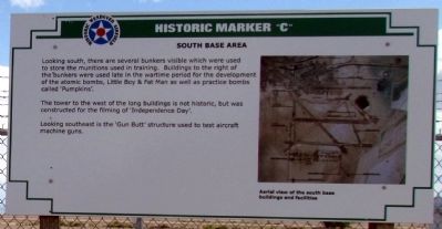
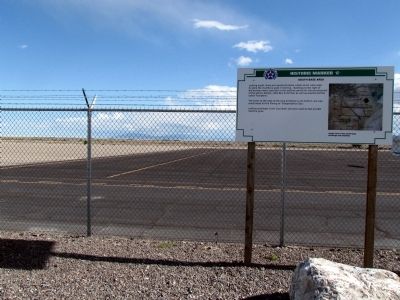
South Base Area
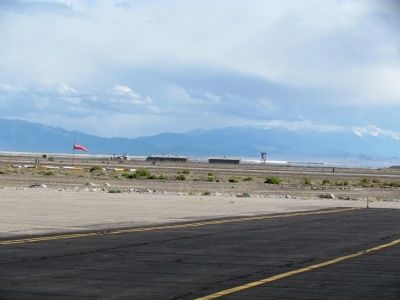
The tower to the west of the long buildings is not historic, but was constructed for the filming of 'Independence Day'.
Looking southeast is the 'Gun Butt' structure used to test aircraft machine guns.
Topics. This historical marker is listed in these topic lists: Air & Space • War, World II.
Location. 40° 43.659′ N, 114° 2.251′ W. Marker is in Wendover, Utah, in Tooele County. Marker can be reached from S. Airport Apron south of Airport Way. Marker is located near the operations center and museum of the Historic Wendover Airfield. Touch for map. Marker is at or near this postal address: 345 S Airport Apron, Wendover UT 84083, United States of America. Touch for directions.
Other nearby markers. At least 8 other markers are within 2 miles of this marker, measured as the crow flies. Control Tower (within shouting distance of this marker); Bomb Squadron Hangar (within shouting distance of this marker); Operations Building (within shouting distance of this marker); Atomic Mission Hangar 1831 (approx. 0.4 miles away); Airmen’s Dining Hall and Barracks (approx. 0.6 miles away); Base Chapel (approx. 0.6 miles away); First Transcontinental Telephone Line (approx. 0.7 miles away in Nevada); 509th Composite Group – First Atomic Bombardment (approx. 1.2 miles away in Nevada). Touch for a list and map of all markers in Wendover.
Also see . . . Historic Wendover Airfield. Official website of Wendover Airfield with information on visiting the airfield and its history. (Submitted on January 24, 2014.)
Credits. This page was last revised on June 16, 2016. It was originally submitted on January 24, 2014, by Duane Hall of Abilene, Texas. This page has been viewed 520 times since then and 9 times this year. Photos: 1, 2, 3. submitted on January 24, 2014, by Duane Hall of Abilene, Texas.


