Annapolis in Anne Arundel County, Maryland — The American Northeast (Mid-Atlantic)
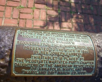
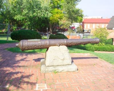
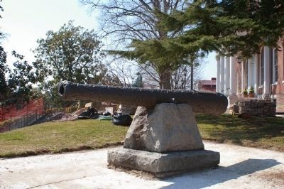
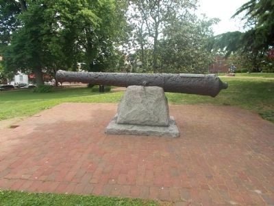
St. Mary's City Cannon
by the first settlers March 25, 1634
Mounted on the walls of the fort
at Old St. Mary's
Recovered from the St. Mary's River 1822
Presented to the state in 1840
by Rev. Joseph Carbery
This tablet is placed by
The Peggy Stewart Tea-Party Chapter
Daugthers of the American Revolution
of Annapolis, Maryland
"Maryland Day" March 25, 1908
Erected 1908 by Tea Party Chapter of the Daughters of the American Revolution.
Topics and series. This historical marker is listed in this topic list: Colonial Era. In addition, it is included in the Daughters of the American Revolution series list. A significant historical date for this entry is March 25, 1634.
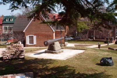
Location. 38° 58.731′ N, 76° 29.428′ W. Marker is in Annapolis, Maryland, in Anne Arundel County. This marker is on the grounds of the Maryland State House. Touch for map. Marker is at or near this postal address: 100 State Circle, Annapolis MD 21401, United States of America. Touch for directions.
Other nearby markers. At least 8 other markers are within walking distance of this marker. The Old Treasury Building (a few steps from this marker); Roger Brooke Taney, 1777 - 1864 (within shouting distance of this marker); a different marker also named The Old Treasury Building (within shouting distance of this marker); General Washington (within shouting distance of this marker); a different marker also named Old Treasury Building (within shouting distance of this marker); Dred Scott, 1799 - 1858 (within shouting distance of this marker); Liberty Tree (within shouting distance of this marker); Matthew Alexander Henson (within shouting distance of this marker). Touch for a list and map of all markers in Annapolis.
Credits. This page was last revised on June 16, 2016. It was originally submitted on October 9, 2007, by Tom Fuchs of Greenbelt, Maryland. This page has been viewed 1,540 times since then and 31 times this year. Last updated on April 16, 2008. Photos: 1, 2. submitted on October 9, 2007, by Tom Fuchs of Greenbelt, Maryland. 3, 4. submitted on March 14, 2008, by Christopher Busta-Peck of Shaker Heights, Ohio. 5. submitted on May 12, 2012. • Kevin W. was the editor who published this page.
