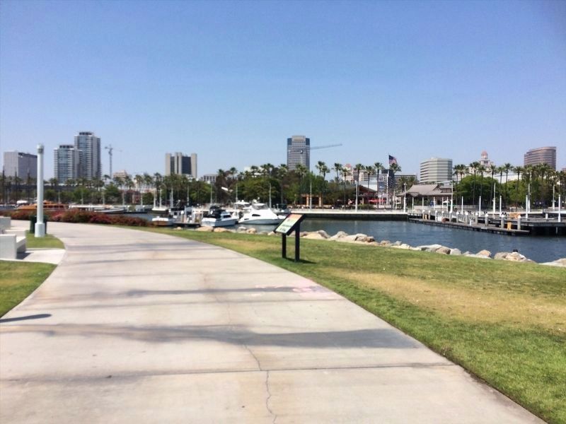
Waterfront in Long Beach in Los Angeles County, California — The American West (Pacific Coastal)
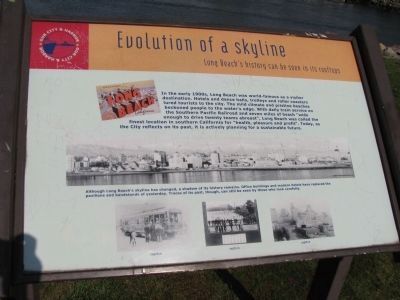
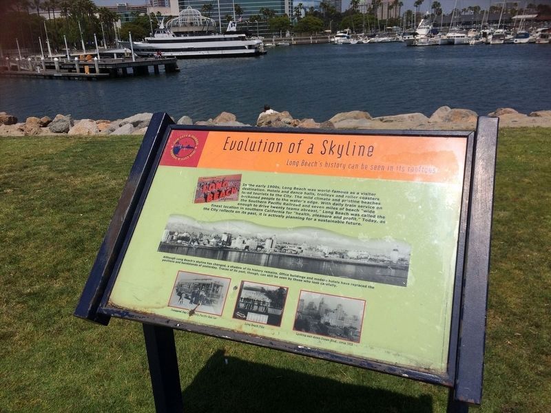
Evolution of a Skyline
Long Beach's history can be seen in its rooftops
Inscription.
In the early 1990s, Long Beach was world-famous as a visitor destination. Hotels and dance halls, trolleys and roller coasters lured tourist to the city. The mild climate and pristine beaches beckoned people to the water's edge. With daily train service on the Southern Pacific Railroad and seven miles of beach "wide enough to drive twenty teams abreast", Long Beach was called the finest location in southern California for "heath, pleasure and profit". Today, as the City reflects on its past, it is actively planning for the sustainable future.
Although Long Beach's skyline has changed, a shadow of its history remains. Office buildings and modern hotels have replaced pavilions and bandstands of yesterday. Traces of its past, though, can still be seen by those who look carefully.
Topics. This historical marker is listed in these topic lists: Natural Features • Notable Buildings.
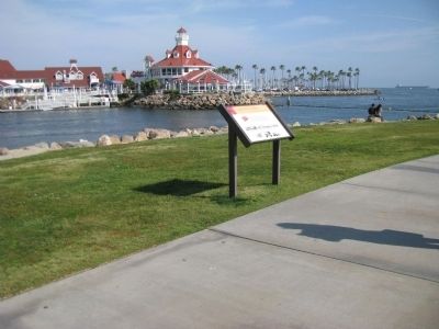
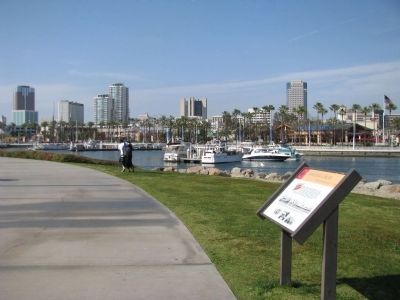
Location. 33° 45.622′ N, 118° 11.609′ W. Marker is in Long Beach, California, in Los Angeles County. It is in Waterfront. Marker can be reached from West Shoreline Drive, on the right when traveling south. Located in Shoreline Aquatic Park along the walkway to the lighthouse. Touch for map. Marker is in this post office area: Long Beach CA 90802, United States of America. Touch for directions.
Other nearby markers. At least 8 other markers are within walking distance of this marker. Transpacific Yacht Race (about 500 feet away, measured in a direct line); G.A.R. Civil War Monument (about 600 feet away); In Their Honor (approx. 0.2 miles away); 10th Anniversary (approx. 0.2 miles away); Easter Island Moai (approx. 0.2 miles away); The Breakers (approx. half a mile away); The Sovereign (approx. half a mile away); The Blackstone (approx. half a mile away). Touch for a list and map of all markers in Long Beach.
Credits. This page was last revised on January 30, 2023. It was originally submitted on February 1, 2014, by Denise Boose of Tehachapi, California. This page has been viewed 626 times since then and 11 times this year. Photos: 1, 2, 3. submitted on February 1, 2014, by Denise Boose of Tehachapi, California. 4, 5. submitted on January 7, 2022, by Adam Margolis of Mission Viejo, California. • Syd Whittle was the editor who published this page.
