Donegal Town in County Donegal, Ulster, Ireland — North West ((Éire) North Atlantic Ocean)
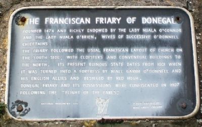
The Franciscan Friary of Donegal
Founded 1474 and richly endowed by the Lady Nuala O'Connor and the Lady Nuala O'Brien, wives of successive O'Donnell chieftains.
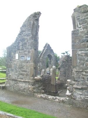
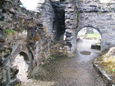
The Friary followed the usual Franciscan layout of church on the south side, with cloisters and conventual buildings to the north. Its present ruinous state dates from 1601 when it was turned into a fortress by Niall Garbh O'Donnell and his English allies and besieged by Red Hugh.
Donegal Friary and its possessions were confiscated in 1607 following the "Flight of the Earls."
National Monument 175
Erected by Bord Fáilte Éireann. (Marker Number 175.)
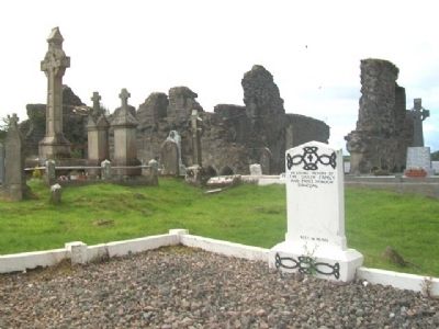
Topics. This historical marker is listed in these topic lists: Cemeteries & Burial Sites • Churches & Religion • Government & Politics • Man-Made Features. A significant historical year for this entry is 1474.
Location. 54° 39.025′ N, 8° 6.892′ W. Marker is in Donegal Town, Ulster, in County Donegal. Marker is on the ruin walls, along the River Eske, off Quay Street (R267). Touch for map. Touch for directions.
Other nearby markers. At least 7 other markers are within 19 kilometers of this marker, measured as the crow flies. Donegal Friary / Mainistir Dhún na nGall (within shouting distance of this marker); "The Frenchman's Anchor" (approx. 0.3 kilometers away); Donegal Castle / Caisleán Dhún na nGall (approx. 0.6 kilometers away); Donegal Castle (approx. 0.6 kilometers away); Welcome to Belleek (approx. 19.1 kilometers away in United Kingdom); Donegal Corridor (approx. 19.1 kilometers away in United Kingdom); The Enamel Grindstone (approx. 19.1 kilometers away in United Kingdom).
Also see . . .
1. Donegal Franciscan Friary, Ireland. (Submitted on February 5, 2014, by William Fischer, Jr. of Scranton, Pennsylvania.)
2. Old Abbey in Donegal Town. (Submitted on February 5, 2014, by William Fischer, Jr. of Scranton, Pennsylvania.)
Credits. This page was last revised on July 24, 2018. It was originally submitted on February 5, 2014, by William Fischer, Jr. of Scranton, Pennsylvania. This page has been viewed 470 times since then and 5 times this year. Photos: 1, 2, 3, 4. submitted on February 5, 2014, by William Fischer, Jr. of Scranton, Pennsylvania.


