Kawaihae in Hawaii County, Hawaii — Hawaiian Island Archipelago (Pacific Ocean)
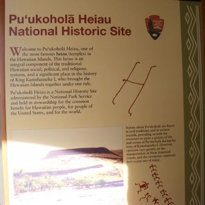
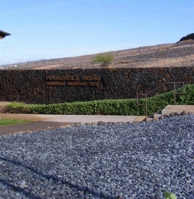
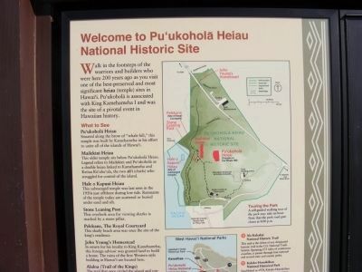
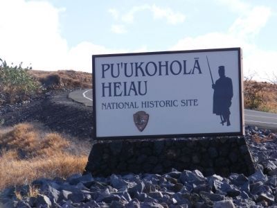
Pu'ukohola Heiau National Historic Site
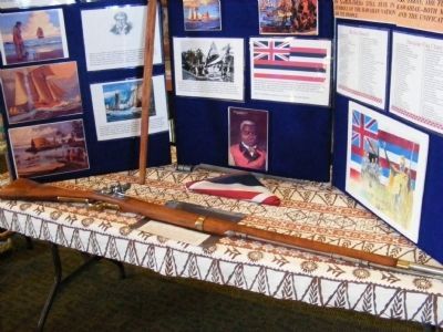
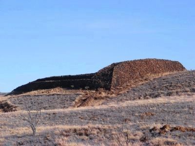
Welcome to Pu’ukohola Heiau, one of the most famous heiau (temples) in the Hawaiian Islands. This heiau is an integral component of the traditional Hawaiian social, political, and religious systems, and a significant place in the history of King Kamehameha I, who brought the Hawaiian Islands together under one rule.
Pu’ukohola Heiau is a National Historic Site administered by the National Park Service and held in stewardship for the common benefit for Hawaiian people, for people of the United States, and for the world. Stories about Pu’ukolola are found in oral traditions and in written records, providing us with the resources to paint a picture of life and events at Pu’ukohola during the time of Kamehameha I. However, opinions vary greatly on interpretation of these historical events, and the viewpoint expressed here is just one of many.
Erected by National Park Service-United States Department of the Interior.
Topics. This historical marker is listed in these topic lists: Anthropology & Archaeology • Asian Americans • Churches & Religion.
Location. 20° 1.53′ N, 155° 49.296′ W. Marker is in Kawaihae, Hawaii, in Hawaii County. Marker is on Kawaihae Road (SR270). The marker is near the entrance to the visitor center. Touch for map. Marker is in this post office area: Kamuela HI 96743, United States of America. Touch for directions.
Other nearby markers. At least 8 other markers are within 6 miles of this marker, measured as the crow flies. Pu'ukoholā Heiau (about 500 feet away, measured in a direct line); Pu'ukohlā Heiau (about 700 feet away); Mailekini Heiau (approx. 0.2 miles away); Pu'ukohola Heiau (approx. 0.2 miles away); Hale o Kapuni Heiau (approx. 0.2 miles away); Pelekane (approx. 0.2 miles away); Camp Henry C. Drewes (approx. 2.4 miles away); Puakō Petroglyph Archaeological District (approx. 5.4 miles away).
Also see . . . Pu'ukohola Heiau National Historic Site. (Submitted on February 21, 2014, by Bill Pfingsten of Bel Air, Maryland.)
Additional keywords. Pacific Islanders, Native Hawaiians
Credits. This page was last revised on March 20, 2022. It was originally submitted on February 19, 2014, by Don Morfe of Baltimore, Maryland. This page has been viewed 599 times since then and 13 times this year. Photos: 1, 2, 3, 4, 5, 6, 7. submitted on February 19, 2014, by Don Morfe of Baltimore, Maryland. • Bill Pfingsten was the editor who published this page.
