Near Lebanon in Smith County, Kansas — The American Midwest (Upper Plains)
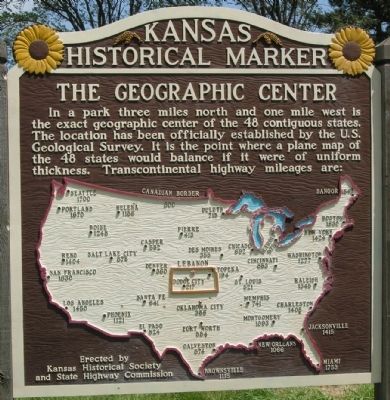
The Geographic Center
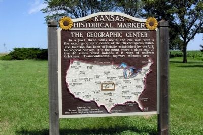
(Map of 48 Contiguous United States with transcontinental highway mileage from the geographic center)
Erected by Kansas Historical Society and State Highway Commission. (Marker Number 37.)
Topics and series. This historical marker is listed in this topic list: Notable Places. In addition, it is included in the Kansas Historical Society series list.
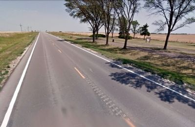
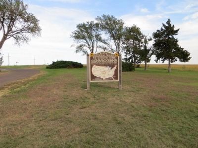
Location. 39° 47.071′ N, 98° 34.053′ W. Marker is near Lebanon, Kansas, in Smith County. Marker can be reached from U.S. 36, 0.4 miles west of Kansas Highway 181, on the right when traveling east. Marker is located at a rest pullout on the south side of US 36. Touch for map. Marker is in this post office area: Lebanon KS 66952, United States of America. Touch for directions.
Other nearby markers. At least 3 other markers are within 3 miles of this marker, measured as the crow flies. A different marker also named The Geographic Center (approx. 1.1 miles away); The Geographic Center of the United States (approx. 3.1 miles away); U.S. Geographic Center Cedar Tree (approx. 3.1 miles away).
More about this marker. An identical marker is located approximately one mile to the east on the north side of US 36.
Related markers. Click here for a list of markers that are related to this marker. This list includes other markers about the geographic center of the contiguous 48 states.
Credits. This page was last revised on September 16, 2020. It was originally submitted on February 22, 2014, by Duane Hall of Abilene, Texas. This page has been viewed 541 times since then and 10 times this year. Photos: 1, 2, 3. submitted on February 22, 2014, by Duane Hall of Abilene, Texas. 4. submitted on October 13, 2014, by Bill Kirchner of Tucson, Arizona.


