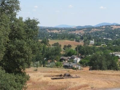
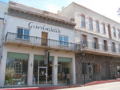
Near Jackson in Amador County, California — The American West (Pacific Coastal)
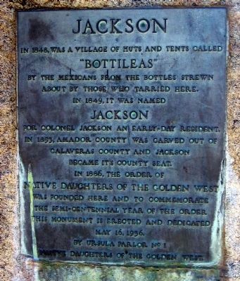
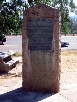
Jackson
Erected 1936 by The Ursula Parlor No.1, Native Daughters of the Golden West, May 16, 1936.
Topics and series. This historical marker is listed in these topic lists: Industry & Commerce • Natural Resources • Notable Places • Settlements & Settlers. In addition, it is included in the Native Sons/Daughters of the Golden West series list. A significant historical year for this entry is 1848.
Location. 38° 21.89′ N, 120° 47.23′ W. Marker is near Jackson, California, in Amador County. Marker can be reached from State Highway 49. Marker is located at the rest area across from the Kennedy Mine, 1.6 miles north of the town of Jackson. Touch for map. Marker is in this post office area: Jackson CA 95642, United States of America. Touch for directions.
Other nearby markers. At least 8 other markers are within walking distance of this marker. Argonaut Mine (here, next to this marker); The Kennedy Mine / The Argonaut Mine (here, next to this marker); Anthony Caminetti (a few steps from this marker); University of California Foothill Field Station (a few steps from this marker); Argonaut and Kennedy Mines (a few steps from this marker); Amador County Veterans' Memorial (a few steps from this marker); Kennedy Mining and Milling Company (approx. 0.4 miles away); Kennedy Mine Headframe (approx. 0.4 miles away). Touch for a list and map of all markers in Jackson.
Also see . . . The History of Jackson. (Submitted on October 29, 2008, by Syd Whittle of Mesa, Arizona.)
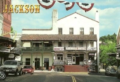
David Compolongo, Published by Scope Enterprises, Clovis,Ca., October 29, 2008
5. National Hotel
Description on Postcard:
National Hotel
Jackson, California,
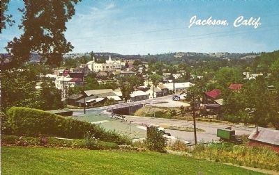
The largest ciy in Amador County, with a population of 3,806, Jackson was founded as a gold rush camp in 1848. It was destroyed by fire in 1862 and was rebuilt. Many of the existing historic main street structures date from that reconstruction era. Jackson became the county seat when Amador County was established in 1854.
Photographed By James King, January 26, 2014
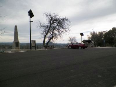
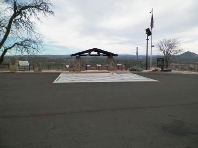
9. Jackson Monument and others
The Jackson Monument is on the extreme left, the Argonaut Mine monument is on the boulder a few feet to the right. The UC Foothill Field Station marker is on the boulder to the right of the roofed area and the Argonaut and Kennedy Mines monument is on the boulder to the right of that. And, finally, the large black slab on the right is the Veterans' monument. The Anthony Carminetti monument is out of the picture to the left.
Credits. This page was last revised on June 16, 2016. It was originally submitted on October 29, 2008, by Syd Whittle of Mesa, Arizona. This page has been viewed 1,986 times since then and 30 times this year. Last updated on March 2, 2014, by James King of San Miguel, California. Photos: 1, 2. submitted on October 29, 2008, by Syd Whittle of Mesa, Arizona. 3. submitted on June 9, 2009, by Syd Whittle of Mesa, Arizona. 4, 5. submitted on October 29, 2008, by Syd Whittle of Mesa, Arizona. 6. submitted on June 9, 2009, by Syd Whittle of Mesa, Arizona. 7. submitted on February 25, 2010, by Syd Whittle of Mesa, Arizona. 8, 9. submitted on March 2, 2014, by James King of San Miguel, California.
