Parkers Crossroads in Henderson County, Tennessee — The American South (East South Central)
Parker's Cross Roads
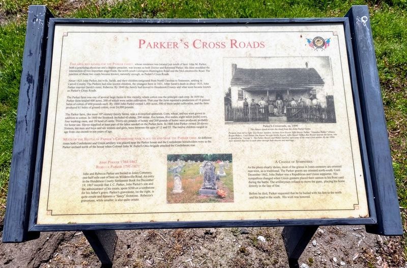
This area was named for the Parker farm whose residence was located just south of here. John M. Parker, both a practicing physician and a Baptist preacher, was known as both Doctor and Reverend Parker. His farm straddled the intersection of two important stage roads, the north-south Lexington-Huntingdon Road and the McLemoresville Road. The junction of these two roads became known, naturally enough, as Parker's Cross Roads.
About 1825 John Parker, his wife, Sarah, and their children emigrated from North Carolina to Tennessee, settling in Carroll County. The Parkers had nine known children, the youngest born in 1831. After Sarah's death in about 1835, John Parker married Sarah's sister, Rebecca. By 1840 the family had moved to Henderson County and what became known as Parker's Cross Roads.
The Parker farm was one of several large farms in this vicinity, where cotton was the principle cash crop. In 1850 the Parker farm totaled 600 acres, 200 of which were under cultivation. That year the farm reported a production of 18 ginned bales of cotton of 400 pounds each. By 1860 John Parker owned 1,400 acres, 500 of which were under cultivation, and the farm produced 61 bales of ginned cotton, over 24,000 pounds.
The Parker farm, like most 19th century farms, was a diversified operation. Corn, wheat, and rye were grown in addition to cotton. In 1860 the livestock included 43 sheep, 200 swine, five horses, five mules, eight milch (milk) cows, four working oxen, and 20 head of cattle. Thirty-six pounds of honey and 200 pounds of butter were produced, probably for home use. Slaves supplied at least part of the labor needed on the Parker farm. In 1860 John Parker owned 28 slaves. Sixteen, ten men and boys and six women and girls, were between the ages of 12 and 55. The twelve children ranged in age from one month to ten years of age.
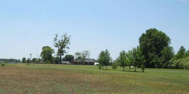
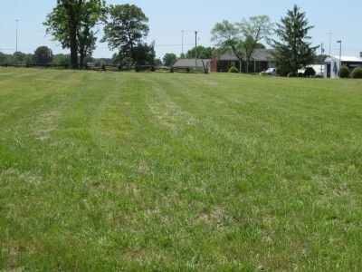
Much of the Battle of Parker's Crossroads took place on and near the Parker farm. At different times both Confederate and Union artillery was placed near the Parker house and the Confederate horseholders were in the Parker orchard north of the house when Colonel John W. Fuller's Ohio brigade attacked the Confederate rear.
Rebecca Parker 1791-1871
John and Rebecca Parker are buried in Jones Cemetery, one-half mile east of here on Wildersville Road. An entry in the Henderson County Settlement Book for December 10, 1867 records that J.C. Parker's son and the administrator of his estate, spent $200 on a tombstone for his father's grave. Parker's gravestone, on the right, is quite ornate and features a "fancy" footstone. Rebecca's gravestone, while smaller, is also quite
ornate.
As the photo clearly shows, most of the graves in Jones cemetery are oriented east-west, as is traditional. The Parker graves are oriented north-south. Until December 1862, John Parker was a Republican and Union supporter. His sympathies changed when Union gunners paced their cannon in his front yard during the battle. The artillerymen refused to move the guns, placing his home directly in the line of fire.
Before he died, Parker requested that he be buried with his feet to the north and his head to the south. His wish was honored.
Erected by Parker's Crossroads Battlefield Association.
Topics. This historical marker is listed in this topic list: War, US Civil. A significant historical month for this entry is December 1876.
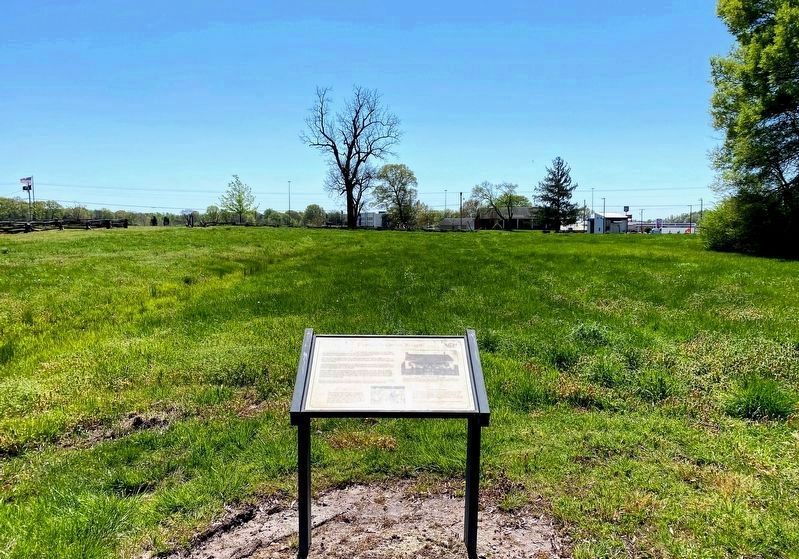
Location. 35° 47.69′ N, 88° 23.419′ W. Marker is in Parkers Crossroads, Tennessee, in Henderson County. Marker can be reached from Tennessee Route 22, 0.6 miles north of Interstate 40, on the right when traveling north. Marker is on the North Loop Walking Trail around 900 feet from the start of the trail. This marker is found where the loop trail turns east. The North Loop Walking Trail is at Tour Stop #1 (Parkers Crossroads City Park) of the Driving Tour. Touch for map. Marker is in this post office area: Wildersville TN 38388, United States of America. Touch for directions.
Other nearby markers. At least 8 other markers
are within walking distance of this marker. "Give 'Em Hell" (within shouting distance of this marker); Flight to Safety (about 300 feet away, measured in a direct line); "Charge Them Both Ways" (about 400 feet away); The Battle of Parker's Crossroads (about 400 feet away); Forrest's Tactics (about 400 feet away); Fuller's Assault (about 500 feet away); Forrest's West Tennessee Raid (about 500 feet away); Morton's Battery (about 500 feet away). Touch for a list and map of all markers in Parkers Crossroads.
More about this marker. The marker includes photographs of a local house ca. 1890 (Photo #2), and John Parker's gravestone.
Note: The marker text states 1867 as John Parker's date of death. This does not agree with the 1864 date on his gravestone.
Additional keywords. Parkers Crossroads
Credits. This page was last revised on June 3, 2021. It was originally submitted on March 12, 2014, by David Graff of Halifax, Nova Scotia. This page has been viewed 727 times since then and 79 times this year. Photos: 1, 2. submitted on May 30, 2021, by Shane Oliver of Richmond, Virginia. 3, 4. submitted on March 12, 2014, by David Graff of Halifax, Nova Scotia. • Bernard Fisher was the editor who published this page.


