Parkers Crossroads in Henderson County, Tennessee — The American South (East South Central)
Enfilading the Line
enfilade — the firing of a gun or guns so as to sweep the length of a target, such as a column of troops
Confederate Artillery Position
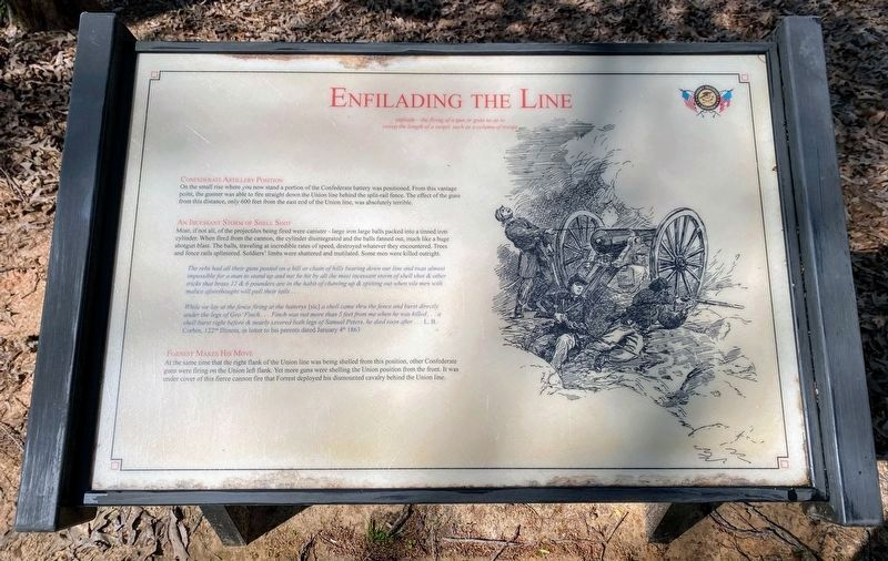
On the rise where you now stand a portion of the Confederate battery was positioned. From this vantage point, the gunner was able to fire straight down the Union line behind the split-rail fence. The effect of the guns from this distance, only 600 feet from the east end of the Union line, was absolutely terrible.
An Incessant Storm of Shell Shot
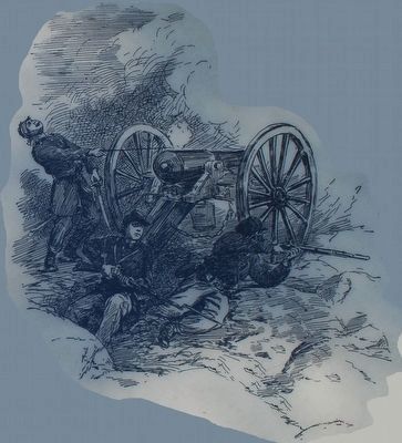
Most, if not all, of the projectiles being fired were canister – large iron balls packed into tinned iron cylinder. When fired from the cannon, the cylinder disintegrated and the balls fanned out, much like a huge shotgun blast. The balls, travelling at incredible rates of speed, destroyed whatever they encountered. Trees and fence rails splintered. Soldiers' limbs were shattered and mutilated. Some men were killed outright.
The rebs had all their guns posted on a hill or chain of hills bearing down our line and twas almost impossible for a man to stand up and not be hit by all the most incessant storm of shell shot & other tricks that brass 12 & 6 pounders are in the habit of chawing up & spitting out when vile men with malice aforethought will pull out their tails …
While we lay at the fence firing at the batterys (sic) a shell came thru the fence and burst directly under the legs of Geo' Finch … Finch was not more than 5 feet from me when he was killed … a shell burst right before & nearly severed both legs of Samuel Peters, he died soon after … — L.B. Corbin, 122nd Illinois, in letter to his parents dated January 4th, 1863
Forrest Makes His Move
At the same time that the right flank of the Union line was being shelled from this position, other Confederate guns were firing on the Union left flank. Yet more guns were shelling the Union position from the front. It was under cover of this fierce cannon fire that Forrest deployed his dismounted cavalry behind the Union line.
Erected by Parker's Crossroads Battlefield Association.
Topics. This historical marker is listed in this topic list: War, US Civil. A significant historical date for this entry is January 4, 1863.
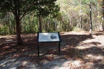
Location. 35° 47.31′ N, 88° 23.033′ W. Marker is in Parkers Crossroads, Tennessee, in Henderson County. Marker can be reached from Federal Lane, 0.2 miles east of Tennessee Route 22, on the right when traveling east. The marker is in a small glade at the end of the Artillery Trail, an eastern extension of the South Loop Walking Trail, at Stop 7 of the Parker's Crossroads Driving Tour. Touch for map. Marker is in this post office area: Wildersville TN 38388, United States of America. Touch for directions.
Other nearby markers. At least 8 other markers are within walking distance of this marker. Forrest's Artillery (about 400 feet away, measured in a direct line); Casualties of War (about 500 feet away); Union Cemetery (about 600 feet away); Freeman's Battery (about 700 feet away); A Concealed Assault (about 700 feet away); 50th Indiana Infantry Regiment (about 700 feet away); Desperate Fighting (approx. 0.2 miles away); A Dogged Defense (approx. 0.2 miles away). Touch for a list and map of all markers in Parkers Crossroads.
More about this marker. A drawing shows artillerymen firing a cannon.
Additional keywords. Parkers Crossroads
Credits. This page was last revised on May 31, 2021. It was originally submitted on March 20, 2014, by David Graff of Halifax, Nova Scotia. This page has been viewed 457 times since then and 9 times this year. Photos: 1, 2. submitted on May 28, 2021, by Shane Oliver of Richmond, Virginia. 3. submitted on August 22, 2015, by Brandon Fletcher of Chattanooga, Tennessee. 4. submitted on March 20, 2014, by David Graff of Halifax, Nova Scotia. 5. submitted on August 22, 2015, by Brandon Fletcher of Chattanooga, Tennessee. • Bernard Fisher was the editor who published this page.


