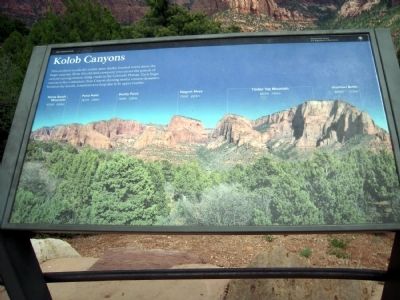
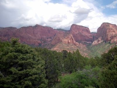
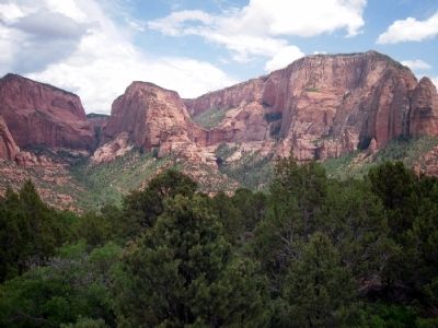
Near New Harmony in Washington County, Utah — The American Mountains (Southwest)
Kolob Canyons
Zion National Park
Erected by National Park Service.
Topics. This historical marker is listed in this topic list: Natural Features.
Location. 37° 26.117′ N, 113° 12.074′ W. Marker is near New Harmony, Utah, in Washington County. Marker can be reached from Kolob Canyons Road. Marker is located in the Kolob Canyons section of Zion National Park at scenic viewpoint at the end of Kolob Canyons Road, approx. five miles from the visitor center entrance. Touch for map. Marker is in this post office area: New Harmony UT 84757, United States of America. Touch for directions.
Other nearby markers. At least 8 other markers are within 11 miles of this marker, measured as the crow flies. Collapsing Scenery (here, next to this marker); Fort Harmony (approx. 3.9 miles away); Snowfield Monument (approx. 6.2 miles away); Military Training Camp Site (approx. 6.3 miles away); New Harmony (approx. 6.6 miles away); Fort Kanarra (approx. 7.1 miles away); South Rim of the Great Basin (approx. 10 miles away); Hornet Hill Monument (approx. 10.7 miles away). Touch for a list and map of all markers in New Harmony.
Also see . . . Kolob Canyons - Zion National Park. Official National Park Service website. (Submitted on March 24, 2014.)
Credits. This page was last revised on June 16, 2016. It was originally submitted on March 24, 2014, by Duane Hall of Abilene, Texas. This page has been viewed 541 times since then and 12 times this year. Photos: 1, 2, 3. submitted on March 24, 2014, by Duane Hall of Abilene, Texas.
Editor’s want-list for this marker. Photos of wide-view of marker and surroundings. • Can you help?


