Danbury in Fairfield County, Connecticut — The American Northeast (New England)
Danbury During the Revolutionary War
Danbury, Connecticut
— The Museum in the Streets® —
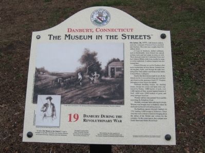
On April 26, 1777, 2,000 British soldiers, under the command of General Tryon, marched into Danbury. The town was a supply depot for military stores.
A Corps of Artificers; skilled craftsmen, such as blacksmiths, were formed into special military units and had camps in town, as well. These men provided the Continental Army and the Colonial Militia with items needed in camp or on the battlefield. A military hospital was also located here.
General Wooster set out for Danbury after news reached him in New Haven. Sixteen-year daughter, Sybil, rode through the night mustering New York militia to the home of her father, Colonel Henry Ludington.
Fearful that their retreat might be cut off, the British set fire to several buildings and marched out of town on the morning of April 27th. Property belonging to local Tories was spared.
Nineteen dwelling houses, the meeting house, twenty-two stores and barns were consumed by flames. 3,000 barrels of pork, over 1,000 barrels of flour, several hundred barrels of beef, 1,600 tents, 2,000 bushels of grain, and army carriages were lost.
Wooster and his men pursued Tryon and his men along the Ridgebury Road.
Mortally wounded while rallying his troops, Wooster was brought back to Danbury where he died and was buried with military honors.
Rochambeau passed through Danbury in 1781 leading 4,800 troops to Yorktown. These very men were a decisive factor in bringing about the defeat of the British and victory for the colonies. On the return march, they camped near South Street and Shelter Rock Road.
Erected by The Museum in the Streets®. (Marker Number 19.)
Topics and series. This historical marker is listed in this topic list: War, US Revolutionary. In addition, it is included in the The Museum in the Streets®: Danbury, Connecticut series list. A significant historical month for this entry is April 1848.
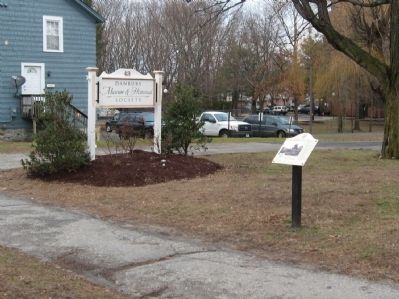
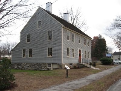
Location. 41° 23.314′ N, 73° 26.788′ W. Marker is in Danbury, Connecticut, in Fairfield County. Marker is on Main Street, 0.1 miles north of South Street, on the right when traveling north. Located in front of the Danbury Museum & Historical Society and the Rider House. Touch for map. Marker is at or near this postal address: 43 Main Street, Danbury CT 06810, United States of America. Touch for directions.
Other nearby markers. At least 8 other markers are within walking distance of this marker. Washington-Rochambeau Revolutionary Route (a few steps from this marker); John W. Leahy (within shouting distance of this marker); Danbury 9-11 Memorial (about 700 feet away, measured in a direct line); The Danbury Raid (approx. 0.2 miles away); The Circus Comes to Town (approx. 0.2 miles away); The Danbury Court House (approx. 0.2 miles away); Danbury (approx. 0.2 miles away); Oldest Cemetery 1684 (approx. 0.2 miles away). Touch for a list and map of all markers in Danbury.
Credits. This page was last revised on November 25, 2021. It was originally submitted on March 24, 2014, by Michael Herrick of Southbury, Connecticut. This page has been viewed 1,164 times since then and 64 times this year. Photos: 1, 2, 3. submitted on March 24, 2014, by Michael Herrick of Southbury, Connecticut.


