Cocoa in Brevard County, Florida — The American South (South Atlantic)
Hernandez Trail
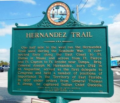
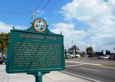
One half mile to the west ran the Hernandez Trail used during the Seminole War. It connected forts along the East Coast to Ft. Dallas in Miami and across from Ft. Pierce and Ft. Capron to Ft. Brooke near Tampa. Brig. General Joseph M. Hernandez, born 1792 in St. Augustine, served as the first delegate to Congress and held a number of positions of importance in the Territory of East Florida. In 1837 under orders from General Thomas S. Jesup, he captured Indian Chief Osceola.
Erected 1962 by Florida Board of Parks and Historic Memorials in cooperation with The Philip Perry Chapter D. A. R. (Marker Number F-69.)
Topics and series. This historical marker is listed in these topic lists: Forts and Castles • Native Americans • Settlements & Settlers • Wars, US Indian. In addition, it is included in the Daughters of the American Revolution series list. A significant historical year for this entry is 1792.
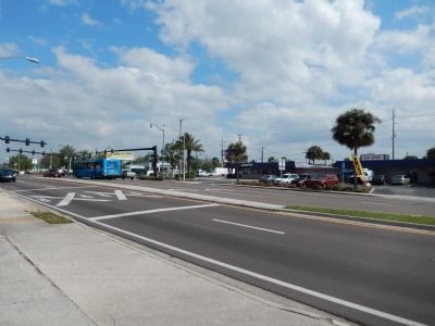
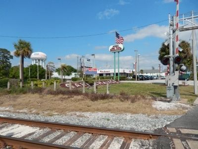
Location. 28° 21.35′ N, 80° 44.006′ W. Marker is in Cocoa, Florida, in Brevard County. Marker is on West King Street (State Road 520) west of South Cocoa Boulevard (U.S. 1), on the right when traveling west. The marker is located east of the railroad crossing. Touch for map. Marker is in this post office area: Cocoa FL 32922, United States of America. Touch for directions.
Other nearby markers. At least 8 other markers are within walking distance of this marker. Cocoa Village Playhouse (approx. 0.4 miles away); Historic Cocoa Post Office (approx. 0.4 miles away); The S. F. Travis Company (approx. half a mile away); Edward Postell Porcher House (approx. half a mile away); Emory Lawrence Bennett (approx. half a mile away); Staff Sergeant Melvin Morris (approx. half a mile away); St. Mark’s Episcopal Church (approx. 0.6 miles away); Historic Derby Street Chapel (approx. 0.6 miles away). Touch for a list and map of all markers in Cocoa.
Also see . . . Hernandez Trail. (Submitted on March 26, 2014, by Cosmos Mariner of Cape Canaveral, Florida.)
Credits. This page was last revised on July 27, 2017. It was originally submitted on March 26, 2014, by Cosmos Mariner of Cape Canaveral, Florida. This page has been viewed 1,471 times since then and 45 times this year. Photos: 1, 2, 3, 4. submitted on March 26, 2014, by Cosmos Mariner of Cape Canaveral, Florida. • Bernard Fisher was the editor who published this page.


