Malahide in County Fingal, Leinster, Ireland — Mid-East (and Dublin)
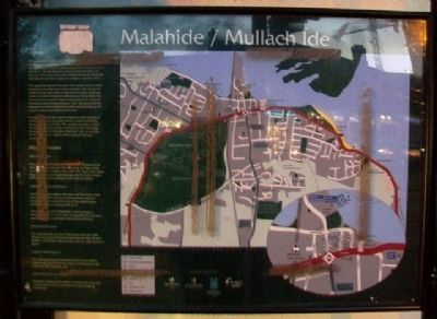
Malahide / Mullach Íde
[Excerpt from marker]
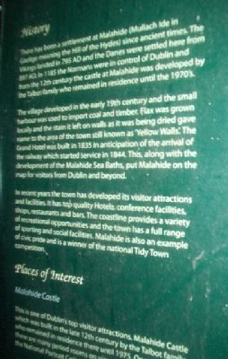
History
There has been a settlement at Malahide (Mullach Íde in Gaelige meaning the Hill of the Hydes) since ancient times. The Vikings landed in 795 AD and the Danes were settled here from 897 AD. In 1185 the Normans were in control of Dublin and from the 12th century the castle at Malahide was developed by the Talbot family who remained in residence until the 1970's.
The village developed in the early 19th century and the small harbour was used to import coal and timber. Flax was grown locally and the stain it left on walls as it was being dried gave name to the area of the town still known as 'Yellow Walls'. The Grand Hotel was built in 1835 in anticipation of the arrival of the railway which started service in 1844. This, along with the development of the Malahide Sea Baths, put Malahide on the map for visitors from Dublin and beyond.
In recent years the town has developed its visitor attractions and facilities. It has top quality Hotels, conference facilities, shops, restaurants and bars. The coastline provides a variety of recreational opportunities and the town has a full range of sporting and social facilities. Malahide is also an example of civic pride and is a winner of the national Tidy Town competition.
[Balance of marker not transcribed]
Topics. This historical marker is listed in this topic list: Settlements & Settlers.
Location. 53° 27.037′ N, 6° 9.209′ W. Marker is in Malahide, Leinster, in County Fingal. Marker is at the intersection of Church Road (R124) and Main Street / The Mall (R106), on the left when traveling south on Church Road (R124). Touch for map. Touch for directions.
Other nearby markers. At least 8 other markers are within 10 kilometers of this marker, measured as the crow flies. The Velvet Strand / An Trá Chaoin (approx. 2.8 kilometers away); The Southern Cross Monument (approx. 2.8 kilometers away); The Ready Boat Pillar (approx. 8.7 kilometers away); Howth The Village / Binn Éadair ______ (approx. 8.8 kilometers away); Lost At Sea (approx. 8.9 kilometers away); The Lord Killanin (approx. 9.1 kilometers away); Howth Abbey, St. Marys / "Mainistir" Bhinn Éadair (approx. 9.1 kilometers away); St Mary's Church / Eaglais Mhuire (approx. 9.1 kilometers away).
Also see . . . Malahide: A Brief History. Enjoy Malahide website entry (Submitted on March 31, 2014, by William Fischer, Jr. of Scranton, Pennsylvania.)
Credits. This page was last revised on May 21, 2021. It was originally submitted on March 31, 2014, by William Fischer, Jr. of Scranton, Pennsylvania. This page has been viewed 475 times since then and 16 times this year. Photos: 1, 2, 3. submitted on March 31, 2014, by William Fischer, Jr. of Scranton, Pennsylvania.


