Hastings in St. Johns County, Florida — The American South (South Atlantic)
Hastings
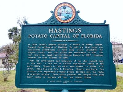
Potato Capital of Florida
In 1890 Thomas Horace Hastings, a cousin of Henry Flagler, founded the settlement of Hastings. He built the first house and constructed greenhouses to raise early winter vegetables for Flagler’s hotels. The post office was established in 1891. The first school was taught by Mr. Charles Dupont in 1897. Hastings received its town charter in 1909.
With the development and irrigation of the clay subsoil land in this area, a new era in Florida agriculture began in the early 1920’s. Pioneers in this effort were Messrs. U.J. White, W.H. Erwin, Frank Nix and John T. Dismukes. Modern machinery, fertilization and experiment brought potato growing into the realm of scientific farming. Early select potatoes are shipped from here every spring to markets all over the United States.
Erected 1965 by St. Johns County Historical Commission.
Topics. This historical marker is listed in these topic lists: Agriculture • Industry & Commerce • Settlements & Settlers. A significant historical year for this entry is 1890.
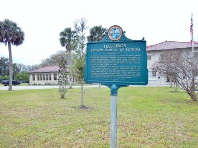
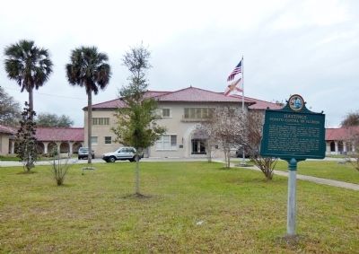
Location. 29° 42.7′ N, 81° 30.5′ W. Marker is in Hastings, Florida, in St. Johns County. Marker is at the intersection of South Main Street and East Manson Road, on the right when traveling south on South Main Street. The marker is located in front of the St. Johns County Sheriffs Office. Touch for map. Marker is at or near this postal address: 6195 South Main Street, Hastings FL 32145, United States of America. Touch for directions.
Other nearby markers. At least 8 other markers are within 8 miles of this marker, measured as the crow flies. Derrick Ramsey (about 600 feet away, measured in a direct line); John Henry “Pop” Lloyd (about 600 feet away); Hastings Railroad (approx. 0.4 miles away); a different marker also named Hastings Railroad (approx. half a mile away); St. Ambrose Parish (approx. 5.1 miles away); History of McCullough Creek (approx. 5.8 miles away); a different marker also named History of McCullough Creek (approx. 6.2 miles away); William Bartram Trail (approx. 7.4 miles away). Touch for a list and map of all markers in Hastings.
Also see . . .
1. Town of Hastings History. American Towns website entry:
The Town of Hastings, Florida, named after Thomas Horace Hastings (1860 - 1897), is located in the agricultural heart of the upper St. Johns River Valley 45 miles south of Jacksonville, 10 miles northeast of Palatka, and 15 miles southwest of St. Augustine. The area was first settled by Native-Americans about 3,500 years ago. After the founding of St. Augustine by the Spanish in 1565, Fort Picolata, about 10 miles nort of present day Hastings, was established on the St. Johns River in the late 1600's. The Fort was burned in 1740 by the British under Oglethorpe during the War of Jenkins' Ear. The Fort was reconstructed in 1755 by the Spanish. (Submitted on April 3, 2014, by Cosmos Mariner of Cape Canaveral, Florida.)
2. Hastings, Florida. Wikipedia entry (Submitted on September 4, 2022, by Larry Gertner of New York, New York.)
Credits. This page was last revised on September 4, 2022. It was originally submitted on April 3, 2014, by Cosmos Mariner of Cape Canaveral, Florida. This page has been viewed 823 times since then and 56 times this year. Photos: 1, 2, 3. submitted on April 3, 2014, by Cosmos Mariner of Cape Canaveral, Florida. • Bernard Fisher was the editor who published this page.


