Northern Waterfront in San Francisco City and County, California — The American West (Pacific Coastal)
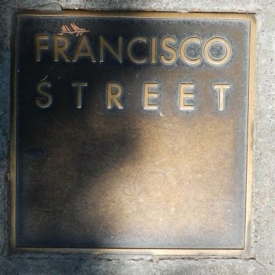
Francisco Street
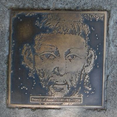
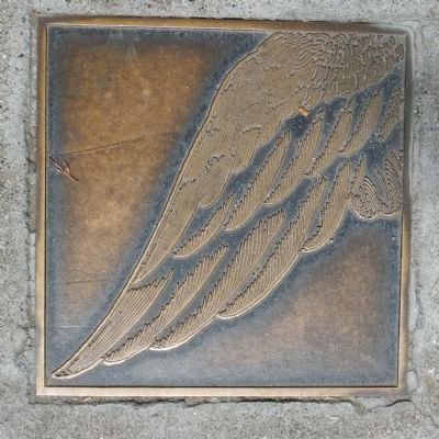
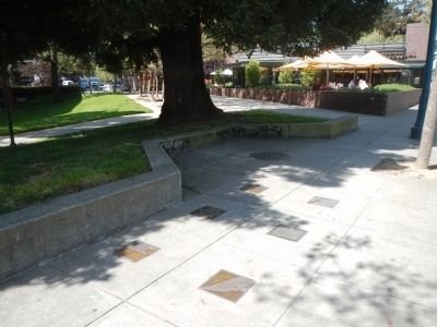
This marker consists of six plaques arranged in a 2 X 3 pattern. The top left plaque is the title plaque and may contain some text. The top right plaque displayed an arrow which points in the direction of the named street. Other plaques contain biographical information on the person for whom the street is named, appropriate quotation(s) and relevant illustrations, cast in bronze.
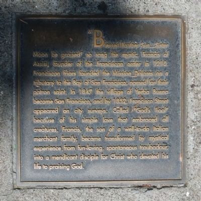
“Blessed Brother Sun... Sister Moon be praised” so sang the mystic, Francis of Assisi, founder of the Franciscan order in 1210. Franciscan friars founded the Mission Dolores on a tributary to the bay of San Francisco, named for their patron saint. In 1847 the village of Yerba Buena became San Francisco, and by 1852, Francisco Street appeared on city surveys. Called “God’s Fool” because of his simple love that embraced all creatures, Francis, the son of a well-to-do Italian merchant family, became transformed by mystical experiences from fun-loving, spontaneous troubadour, into a mendicant disciple for Christ who devoted his life to praising God.
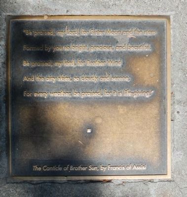
“Be praised, my Lord, for Sister Moon and the stars
Formed by you so bright, precious, and beautiful.
Be praised, my lord, for Brother Wind
And the airy skies, so cloudy and serene;
For every weather, be praised, for it is life-giving.”
The Canticle of Brother Sun, by Francis of Assisi
Erected by San Francisco Art Commission for the Waterfront Transportation Projects.
Topics. This historical marker is listed in this topic list: Roads & Vehicles. A significant historical year for this entry is 1210.
Location. 37° 48.346′ N, 122° 24.27′ W. Marker is in San Francisco, California, in San Francisco City and County. It is in Northern Waterfront. Marker is on The Embarcadero, on the right when traveling south. Touch for map. Marker is at or near this postal address: 1623 The Embarcadero, San Francisco CA 94111, United States of America. Touch for directions.
Other nearby markers. At least 8 other markers are within walking distance of this marker. Staff Housing Area (within shouting distance of this marker); Barracks/Apartments (within shouting distance of this marker); Warden’s House and Lighthouse (about 300 feet away, measured in a direct line); The Dock (about 300 feet away); Main Prison Building (about 300 feet away); Guardhouse & Sallyport Complex (about 300 feet away); a different marker also named The Dock (about 300 feet away); The Post Exchange & Officers' Club (about 300 feet away). Touch for a list and map of all markers in San Francisco.
More about this marker. Francisco Street no longer intersects with The Embarcadeo.
Also see . . .
The Making and Naming Of the Streets of San Francisco. sfGeneology website entry:
In 1839, Governor Alvarado directed a survey to be made of the place, and Jose Castro, the prefect of the district, employed for that purpose Jean J. Vioget, who in November of that year surveyed and platted out the village of Yerba Buena, included between the present Broadway, Montgomery, Powell and California streets. (Submitted on April 18, 2014, by Barry Swackhamer of Brentwood, California.)
Credits. This page was last revised on February 7, 2023. It was originally submitted on April 18, 2014, by Barry Swackhamer of Brentwood, California. This page has been viewed 529 times since then and 19 times this year. Last updated on April 19, 2014, by Barry Swackhamer of Brentwood, California. Photos: 1, 2, 3, 4, 5, 6. submitted on April 18, 2014, by Barry Swackhamer of Brentwood, California. • Syd Whittle was the editor who published this page.
