Clones in County Monaghan, Ulster, Ireland — North West ((Éire) North Atlantic Ocean)
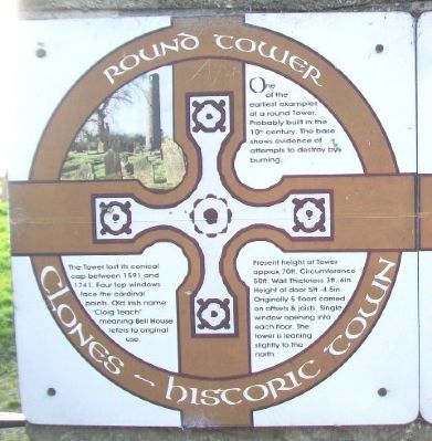
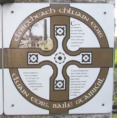
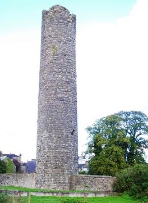
Round Tower / Cloigtheach Chluain Eois
Clones - Historic Town / Cluain Eois, Baile Scairiúil
One of the earliest examples of a round Tower. Probably built in the 10th century. The base shows evidence of attempts to destroy by burning.
The Tower lost its conical cap between 1591 and 1741. Four top windows face the cardinal points. Old Irish name "Cloig Teach" meaning Bell House refers to original use.
Present height of Tower approx. 70ft. Circumference 50ft. Wall Thickness 3ft.-6in. Height of door 5ft.-4.5in. Originally 5 floors carried on offsets & joists. Single window opening into each floor. The tower is leaning slightly to the north.
——————————
Ceann de na cloigtithe is sine sa tír. Tógtha thart faoin 10ú ceád, de reír dealraimh. Is léir ón a bhun gur rinneadh iarracht é a lot le tine.
Chaill an cloigtheach a bharr courcéogach idir 1591 agus 1741. Tá aghaidh na gceithre fhuinneog i dtreo na gceithe n-aired.
Tá airde an chloigthí thart faoi 70 troithe. Imlíne 50 troithe. Tuís ballai 3 troithe agus 6 horlaí. Airde an doras 5 troithe 4 horlaí go leith. I dtús ama cúig urláir a bhí ann. Claonann an cloigtheach ó thuaidh.
Topics. This historical marker is listed in these topic lists: Cemeteries & Burial Sites • Forts and Castles • Man-Made Features • Settlements & Settlers. A significant historical year for this entry is 1591.
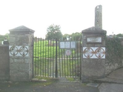
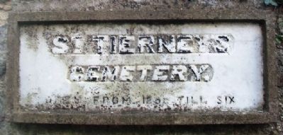
Location. 54° 10.673′ N, 7° 13.91′ W. Marker is in Clones, Ulster, in County Monaghan. Marker is on Ball Alley just west of McCurtain Street (R212), on the left when traveling west. Markers are at the east entrance to St. Tierney's Cemetery. Touch for map. Touch for directions.
Other nearby markers. At least 4 other markers are within walking distance of this marker. The Sarcophagus / Sarcofagas Thighearnaigh Naofa (here, next to this marker); Remains of St Tiernach (within shouting distance of this marker); Clones Round Tower, Cross and Church (about 180 meters away, measured in a direct line); High Cross / Ardchros Cluain Eois (about 180 meters away).
Also see . . . Clones Round Tower, Ireland. (Submitted on April 27, 2014, by William Fischer, Jr. of Scranton, Pennsylvania.)
Credits. This page was last revised on June 16, 2016. It was originally submitted on April 27, 2014, by William Fischer, Jr. of Scranton, Pennsylvania. This page has been viewed 438 times since then and 5 times this year. Photos: 1, 2, 3, 4. submitted on April 27, 2014, by William Fischer, Jr. of Scranton, Pennsylvania. 5. submitted on March 30, 2014, by William Fischer, Jr. of Scranton, Pennsylvania.
