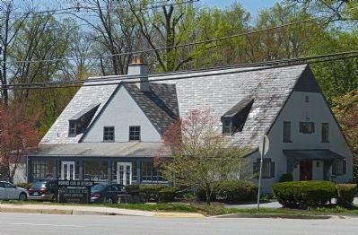
Bethesda in Montgomery County, Maryland — The American Northeast (Mid-Atlantic)
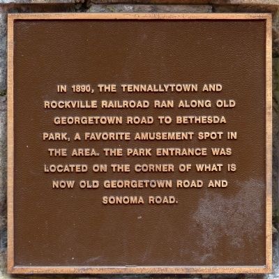
Tennallytown and Rockville Railroad
Topics. This historical marker is listed in these topic lists: Entertainment • Railroads & Streetcars. A significant historical year for this entry is 1890.
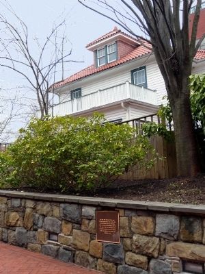
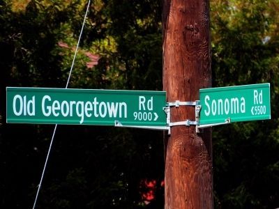
Location. 38° 59.209′ N, 77° 5.904′ W. Marker is in Bethesda, Maryland, in Montgomery County. Marker can be reached from Old Georgetown Road (Maryland Route 187) just east of Arlington Road, on the right when traveling east. Marker is in Chevy Chase Gardens Plaza near 7700 Old Georgetown Road, Bethesda MD 20814, United States of America. Also accessible from 7605 Arlington Road. Touch for map. Marker is at or near this postal address: 7605 Arlington Road, Bethesda MD 20814, United States of America. Touch for directions.
Other nearby markers. At least 8 other markers are within walking distance of this marker. Old Georgetown Road (here, next to this marker); Locust Grove (within shouting distance of this marker); This Complex of Buildings and Gardens (within shouting distance of this marker); a different marker also named Old Georgetown Road (about 300 feet away, measured in a direct line); Looking North up Wisconsin Avenue at Old Georgetown Road in 1940 (about 500 feet away); Veterans Memorial (approx. 0.2 miles away); Robert W. Lebling (approx. ¼ mile away); Five Points, historic crossroads (approx. ¼ mile away). Touch for a list and map of all markers in Bethesda.
Additional commentary.
1. Bethesda Park
"Bethesda Park was founded as a trolley park in Montgomery County by entrepreneurs Richard Drum and John Beall in 1891. The 50-acre park featured flying horses, swings, a shooting gallery, a dance hall, a zoo, and an indoor botanical garden. By its second season, its owners had added a restaurant and a $10,000 carousel. A roller coaster and Ferris wheel soon followed, as did a variety of midway games, a theater, and a bowling alley. An electrical fire caused the park's demise in 1894." -- Jason Rhodes Maryland's Amusement Parks, 2005, page 8.
— Submitted April 28, 2014, by Allen C. Browne of Silver Spring, Maryland.
Photographed By Allen C. Browne, September 13, 2012
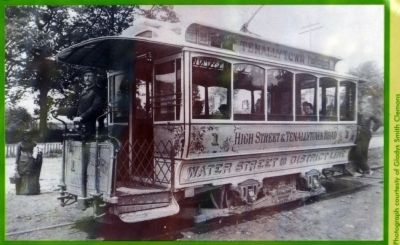
6. Tennallytown and Rockville Railroad
In the 1890's Tenallytown trolley cars, such as this one, made their way from Georgetown to the District boundary at Western Avenue using overhead electric power. An elaborate underground electric system was required for all downtown trolley systems; however at that time, Georgetown was not considered 'downtown.'Close-up of photo on "Trolley to Trail" Marker HMdb No. 61805
Credits. This page was last revised on September 22, 2019. It was originally submitted on April 28, 2014, by Allen C. Browne of Silver Spring, Maryland. This page has been viewed 744 times since then and 25 times this year. Photos: 1, 2, 3, 4, 5, 6. submitted on April 28, 2014, by Allen C. Browne of Silver Spring, Maryland. • Bill Pfingsten was the editor who published this page.
