Vernon in Washington County, Florida — The American South (South Atlantic)
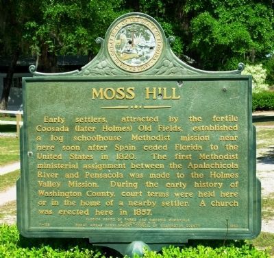
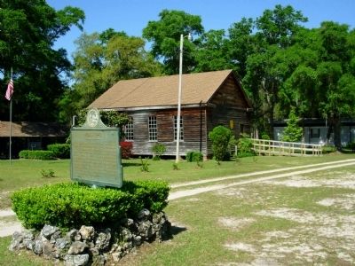
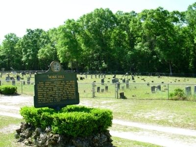
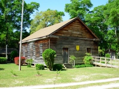
Moss Hill
Erected 1963 by Rural Areas Development Council of Washington County and Florida Board of Parks and Historic Memorials. (Marker Number F-108.)
Topics. This historical marker is listed in these topic lists: Churches & Religion • Education • Settlements & Settlers. A significant historical year for this entry is 1820.
Location. 30° 35.049′ N, 85° 40.638′ W. Marker is in Vernon, Florida, in Washington County. Marker is on Moss Hill Road (County Road 279) 3.6 miles south of Main Street (State Road 79), on the right when traveling south. Touch for map. Marker is at or near this postal address: 3654 CR 279, Vernon FL 32462, United States of America. Touch for directions.
Other nearby markers. At least 8 other markers are within 16 miles of this marker, measured as the crow flies. Shady Grove Elementary School For African American Children (approx. 2.9 miles away); Vernon, Florida (approx. 3˝ miles away); Vernon Old School (approx. 3.6 miles away); Native Americans in Holmes Valley (approx. 3.8 miles away); Hinson's Crossroads (approx. 11.4 miles away); Falling Waters State Park (approx. 13.2 miles away); Kudzu Developed Here (approx. 15.3 miles away); South Third Street Historic District (approx. 15.7 miles away). Touch for a list and map of all markers in Vernon.
Credits. This page was last revised on July 22, 2018. It was originally submitted on April 28, 2014, by Paul Fehrenbach of Germantown, Wisconsin. This page has been viewed 795 times since then and 47 times this year. Photos: 1, 2, 3, 4. submitted on April 28, 2014, by Paul Fehrenbach of Germantown, Wisconsin. • Bernard Fisher was the editor who published this page.


