Taos in Taos County, New Mexico — The American Mountains (Southwest)
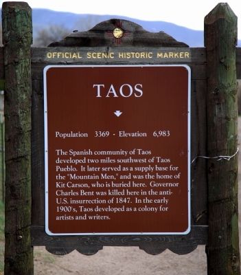
Taos
Population 3369 — Elevation 6,983
Topics. This historical marker is listed in these topic lists: Colonial Era • Political Subdivisions. A significant historical year for this entry is 1847.
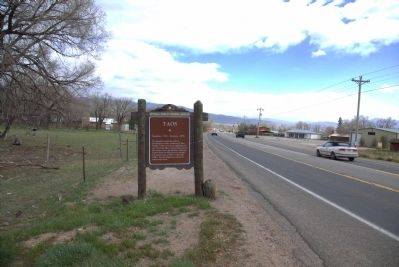
Location. 36° 26.2′ N, 105° 34.5′ W. Marker is in Taos, New Mexico, in Taos County. Marker is on Paseo del Pueblo Norte (U.S. 64) north of Fresquez Road, on the right when traveling north. Touch for map. Marker is in this post office area: Taos NM 87571, United States of America. Touch for directions.
Other nearby markers. At least 8 other markers are within 2 miles of this marker, measured as the crow flies. Taos Pueblo Veterans Memorial (approx. 1.6 miles away); Taos Pueblo (approx. 1.6 miles away); Governor Bent House (approx. 2 miles away); Acequia Crossings (approx. 2 miles away); The Alley Cantina (approx. 2 miles away); Casa Espinoza (approx. 2 miles away); Old Taos County Courthouse (approx. 2 miles away); Kit Carson Memorial Cemetery (approx. 2 miles away). Touch for a list and map of all markers in Taos.
Additional keywords. Taos Revolt of 1847
Credits. This page was last revised on June 16, 2016. It was originally submitted on April 29, 2014, by J. J. Prats of Powell, Ohio. This page has been viewed 554 times since then and 11 times this year. Photos: 1, 2. submitted on April 29, 2014, by J. J. Prats of Powell, Ohio.

