Colorado City in Mitchell County, Texas — The American South (West South Central)
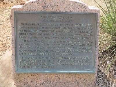
Seven Wells
(Site Located One Mile South)
Buffalo tracks cut deep into the creek banks of soft sandstone indicated this was a watering place for great herds of bison. At least four trails crisscrossed the area where north and south Champion Creeks converged.
For hundreds of years Indians also camped here, and in the 1880s a small, early Mitchell County settlement named “Artesia” grew up at the site of the wells.
Erected 1968. (Marker Number 4645.)
Topics and series. This historical marker is listed in these topic lists: Animals • Native Americans • Settlements & Settlers. In addition, it is included in the Texas 1936 Centennial Markers and Monuments series list.
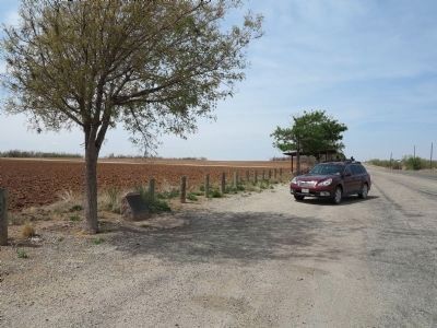
Location. 32° 20.092′ N, 100° 49.493′ W. Marker is in Colorado City, Texas, in Mitchell County. Marker is at the intersection of State Highway 208 and County Route 111, on the right when traveling south on State Highway 208. Touch for map. Marker is in this post office area: Colorado City TX 79512, United States of America. Touch for directions.
Other nearby markers. At least 8 other markers are within 5 miles of this marker, measured as the crow flies. Colorado City Standpipe (approx. 3.4 miles away); R.C. (Dick) Ware (approx. 4.1 miles away); Texas & Pacific Railway (approx. 4.4 miles away); E.M. Hardigree Home (approx. 4.4 miles away); Ruddick Park (approx. 4.4 miles away); All Saints' Church (approx. 4.4 miles away); Dr. Preston C. Coleman (approx. 4.4 miles away); Comanche Village Massacre (approx. 4.4 miles away). Touch for a list and map of all markers in Colorado City.

Photographed By Richard Denney
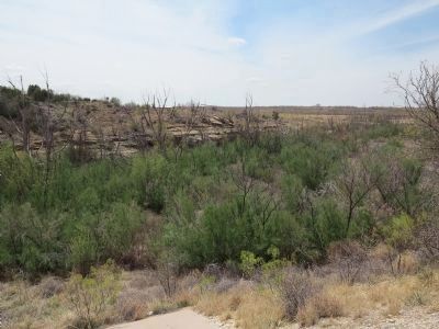
4. North and South Champion Creek
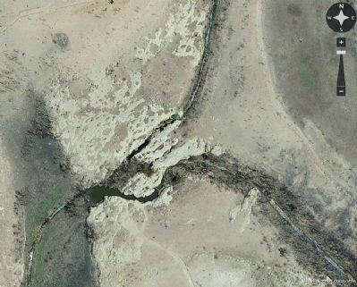
While the marker says the springs are now under Lake Champion, during droughts the lake dries up and the springs can be visible. The marker references trails where North and South Champion Creeks converged. During the drought of 2014, aerial photos clearly show the convergence of the creeks at lat/log 32.318391,-100.823943. Photo from FlashEarth.
Credits. This page was last revised on February 4, 2024. It was originally submitted on April 30, 2014, by Richard Denney of Austin, Texas. This page has been viewed 765 times since then and 58 times this year. Last updated on January 30, 2024, by Jeff Leichsenring of Garland, Texas. Photos: 1, 2, 3, 4. submitted on April 30, 2014, by Richard Denney of Austin, Texas. • James Hulse was the editor who published this page.


