Arnoldsburg in Calhoun County, West Virginia — The American South (Appalachia)
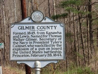
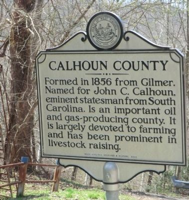
Gilmer County / Calhoun County
Erected 2009 by West Virginia Archives and History.
Topics and series. This historical marker is listed in this topic list: Political Subdivisions. In addition, it is included in the Former U.S. Presidents: #10 John Tyler, and the West Virginia Archives and History series lists. A significant historical date for this entry is February 28, 1902.
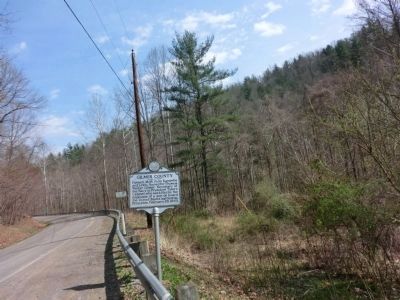
Location. 38° 50.148′ N, 81° 0.564′ W. Marker is in Arnoldsburg, West Virginia, in Calhoun County. Marker is on U.S. 119. Touch for map. Marker is in this post office area: Arnoldsburg WV 25234, United States of America. Touch for directions.
Other nearby markers. At least 8 other markers are within 8 miles of this marker, measured as the crow flies. Honoring E. Dean Starcher (approx. 5.3 miles away); Job’s Temple (approx. 7.1 miles away); a different marker also named Job's Temple (approx. 7.1 miles away); Stalnaker Plantation / Old Stalnaker Family Cemetery (approx. 7.4 miles away); In Memoriam CSM Clovis Drexell Ice (approx. 7.6 miles away); Calhoun County Veterans Memorial (approx. 7.6 miles away); Grantsville (approx. 7.6 miles away); Stump Hotel (approx. 7.7 miles away).
Credits. This page was last revised on April 14, 2020. It was originally submitted on May 4, 2014, by Don Morfe of Baltimore, Maryland. This page has been viewed 538 times since then and 32 times this year. Photos: 1, 2, 3. submitted on May 4, 2014, by Don Morfe of Baltimore, Maryland. • Bill Pfingsten was the editor who published this page.


