Parkersburg in Wood County, West Virginia — The American South (Appalachia)
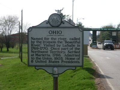
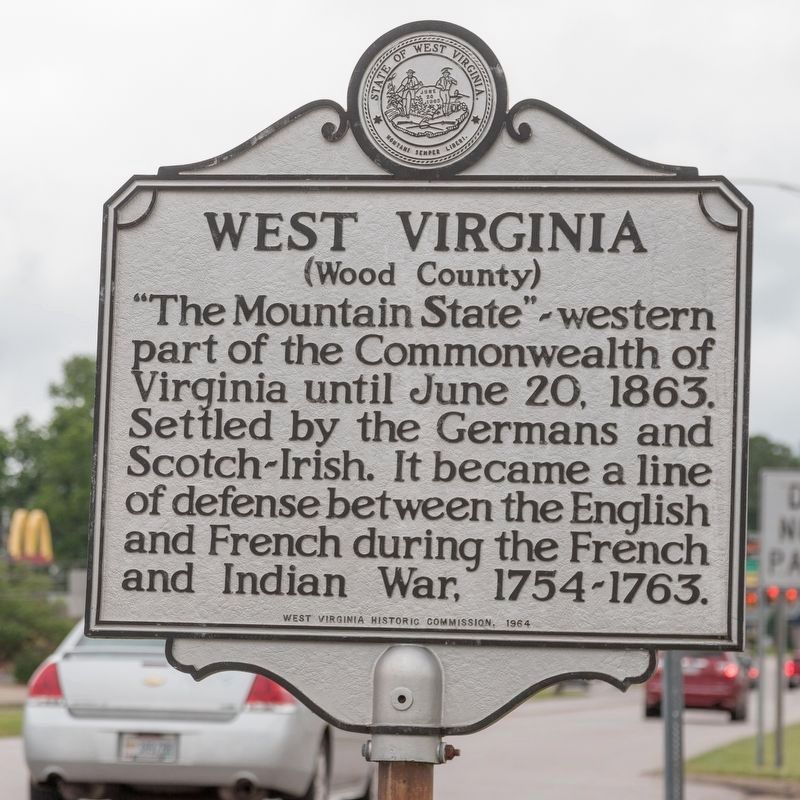
Ohio / West Virginia
Wood County
Erected 1964 by West Virginia Historic Commission.
Topics and series. This historical marker is listed in this topic list: Political Subdivisions. In addition, it is included in the West Virginia Archives and History series list. A significant historical date for this entry is June 20, 1821.
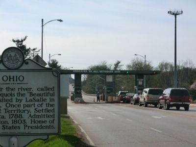
Location. 39° 16.968′ N, 81° 33.132′ W. Marker is in Parkersburg, West Virginia, in Wood County. Marker is on Memorial Bridge Road just east of the toll booths. Touch for map. Marker is in this post office area: Parkersburg WV 26101, United States of America. Touch for directions.
Other nearby markers. At least 8 other markers are within walking distance of this marker. Parkersburg High School (approx. 0.6 miles away); Julia-Ann Square Historic District (approx. 0.7 miles away); a different marker also named Julia-Ann Square Historic District (approx. 0.7 miles away); Amiss-McCrary House (approx. 0.7 miles away); Vanwinkle-Herceg House (approx. 0.7 miles away); Peter G. Van Winkle (approx. 0.7 miles away); Casto-Douglas-Longacre-Harris House (approx. 0.7 miles away); Lamp house (approx. 0.8 miles away). Touch for a list and map of all markers in Parkersburg.
Credits. This page was last revised on May 31, 2021. It was originally submitted on May 8, 2014, by Don Morfe of Baltimore, Maryland. This page has been viewed 376 times since then and 22 times this year. Photos: 1. submitted on May 8, 2014, by Don Morfe of Baltimore, Maryland. 2. submitted on May 31, 2021, by J. J. Prats of Powell, Ohio. 3. submitted on May 8, 2014, by Don Morfe of Baltimore, Maryland. • Bill Pfingsten was the editor who published this page.


