Smiths Station in Lee County, Alabama — The American South (East South Central)
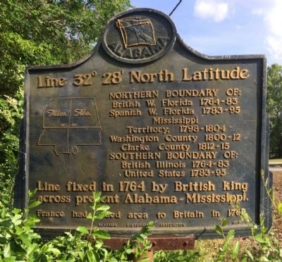
Line 32° 28´ North Latitude
Northern Boundary of:
British W. Florida 1764-83
Spanish W. Florida 1783-95
Mississippi Territory: 1798-1804
Washington County 1800-12
Clarke County 1812-15
Southern Boundary of:
British Illinois 1764-83
United States 1783-95
Line fixed in 1764 by British king across present Alabama-Mississippi.
France had ceded area to Britain in 1763.
Erected 1954 by the Alabama Historical Association.
Topics and series. This historical marker is listed in these topic lists: Colonial Era • Exploration. In addition, it is included in the Alabama Historical Association series list. A significant historical year for this entry is 1764.
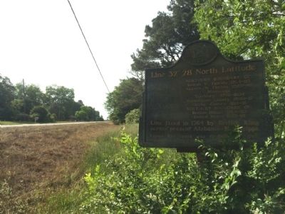
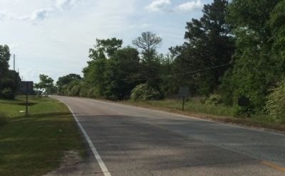
Location. 32° 31.873′ N, 85° 5.29′ W. Marker is in Smiths Station, Alabama, in Lee County. Marker is on County Road 430, 0.6 miles south of County Road 248, on the left when traveling south. Touch for map. Marker is at or near this postal address: 3306 County Road 430, Smiths Station AL 36877, United States of America. Touch for directions.
Other nearby markers. At least 8 other markers are within 7 miles of this marker, measured as the crow flies. The Jones Store (approx. 0.9 miles away); Fort Jabe Brassell (approx. 3.8 miles away); Confederate Fort (approx. 4.7 miles away); Union Night Attack Down Summerville Road (approx. 5.6 miles away); Allen Temple A.M.E. Church / Grant Chapel A.M.E. Church (approx. 6 miles away); Susie E. Allen Elementary School (approx. 6.1 miles away); Camp Conrad (approx. 6.3 miles away in Georgia); Albert Love Patterson (approx. 6˝ miles away).
Credits. This page was last revised on June 16, 2016. It was originally submitted on May 8, 2014, by Mark Hilton of Montgomery, Alabama. This page has been viewed 1,183 times since then and 54 times this year. Photos: 1, 2, 3. submitted on May 8, 2014, by Mark Hilton of Montgomery, Alabama. • Bernard Fisher was the editor who published this page.


