North Kansas City in Clay County, Missouri — The American Midwest (Upper Plains)
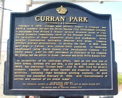
Curran Park
February 3, 1903, Chicago meat packers Armour & Company and Swift & Company founded the North Kansas City Development Company. It purchased from Willard E. Winner several thousand acres of Clay County property immediately north of the Missouri River. Intended for relocation of their respective plants and stockyards, newly adopted Congressional legislation thwarted such plans. Company officials decided alternatively, to develop the land. In 1907, they sent Hugh J. Curran, with Armour-Swift personnel, to implement development using North Kansas City Development Company. For thirty years, until his 1937 retirement as President of the Company. Mr. Curran led the efforts to found, develop and build North Kansas City.
In recognition of his dedicated effort, land on the west side of Swift Avenue, between 17th and 18th, a city park used since the early 1900's, was dedicated "Curran Park", July 31, 1931. Used for picnics, concerts, baseball, high school football and numerous other public activities, including night horseshoe pitching contests, its park contract was cancelled February 15, 1946, with "discontinuance of service and removal of six street lamps".
Erected 2004 by the Historical Society of North Kansas City, the City of North Kansas City, and The Native Sons of Greater Kansas City.
Topics. This historical marker is listed in these topic lists: Industry & Commerce • Parks & Recreational Areas • Settlements & Settlers. A significant historical month for this entry is February 1764.
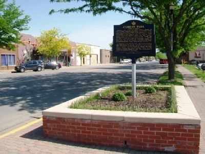
Location. 39° 8.406′ N, 94° 34.647′ W. Marker is in North Kansas City, Missouri, in Clay County. Marker is at the intersection of Swift Avenue and 18th Avenue, on the right when traveling south on Swift Avenue. Touch for map. Marker is in this post office area: Kansas City MO 64116, United States of America. Touch for directions.
Other nearby markers. At least 8 other markers are within 2 miles of this marker, measured as the crow flies. War Memorial (approx. half a mile away); a different marker also named War Memorial (approx. half a mile away); Replica of the Statue of Liberty (approx. half a mile away); The Lewis and Clark Expedition Across Missouri (approx. one mile away); Moving Water (approx. 1˝ miles away); Charles B. Wheeler Downtown Airport (approx. 1˝ miles away); Lou E. Holland (approx. 1˝ miles away); Moving Indians, Trappers & Traders (approx. 1.6 miles away). Touch for a list and map of all markers in North Kansas City.
Also see . . .
1. North Kansas City. Visit Kansas City website entry (Submitted on April 28, 2022, by Larry Gertner of New York, New York.)
2. Missouri House Resolution No. 2395. (Submitted on May 8, 2014, by William Fischer, Jr. of Scranton, Pennsylvania.)
Credits. This page was last revised on May 15, 2022. It was originally submitted on May 8, 2014, by William Fischer, Jr. of Scranton, Pennsylvania. This page has been viewed 598 times since then and 21 times this year. Photos: 1, 2. submitted on May 8, 2014, by William Fischer, Jr. of Scranton, Pennsylvania.

