Winchester, Virginia — The American South (Mid-Atlantic)
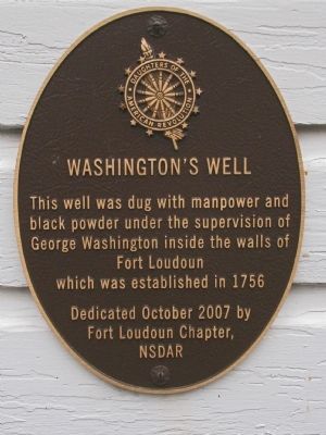
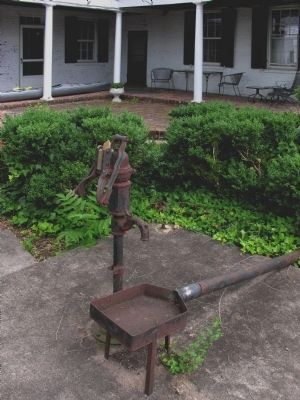
Washington's Well
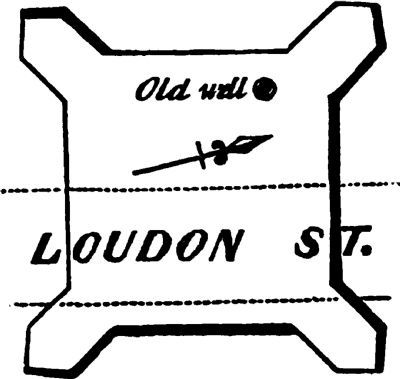
This well was dug with manpower and black powder under the supervision of George Washington inside the walls of Fort Loudoun, which was established in 1756.
Erected 2007 by The Fort Loudoun Chapter, National Society of the Daughters of the American Revolution.
Topics and series. This historical marker is listed in these topic lists: Colonial Era • Man-Made Features • War, French and Indian. In addition, it is included in the Daughters of the American Revolution series list. A significant historical date for this entry is October 15, 2007.
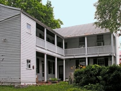
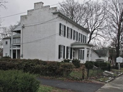
Location. 39° 11.341′ N, 78° 9.846′ W. Marker is in Winchester, Virginia. Marker can be reached from the intersection of North Loudon Street and Clark Street, on the left when traveling north. Marker is in the backyard of Baker-Hardy House. Touch for map. Marker is at or near this postal address: 419 N Loudoun Street, Winchester VA 22601, United States of America. Touch for directions.
Other nearby markers. At least 8 other markers are within walking distance of this marker. Fort Loudoun (a few steps from this marker); a different marker also named Fort Loudoun (a few steps from this marker); Site of Fort Loudoun (within shouting distance of this marker); Jackson’s Headquarters (about 400 feet away, measured in a direct line); a different marker also named Jackson’s Headquarters (about 400 feet away); Dangerous Liaison (about 700 feet away); George Washington Lot (approx. 0.2 miles away); John Kirby, Jazz Musician (approx. 0.2 miles away). Touch for a list and map of all markers in Winchester.
Also see . . . Site of George Washington’s Historic Fort Loudoun. Discover Winchester website entry (Submitted on August 16, 2022, by Larry Gertner of New York, New York.)
Credits. This page was last revised on August 16, 2022. It was originally submitted on May 9, 2014, by Allen C. Browne of Silver Spring, Maryland. This page has been viewed 682 times since then and 27 times this year. Photos: 1, 2, 3, 4, 5, 6. submitted on May 9, 2014, by Allen C. Browne of Silver Spring, Maryland. • Bernard Fisher was the editor who published this page.
