Fillmore Township near Holland in Allegan County, Michigan — The American Midwest (Great Lakes)
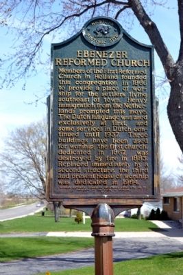
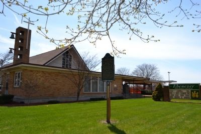
Ebenezer Reformed Church
Erected 1971 by Michigan Historical Commission. (Marker Number L77.)
Topics and series. This historical marker is listed in this topic list: Churches & Religion. In addition, it is included in the Michigan Historical Commission series list. A significant historical year for this entry is 1866.
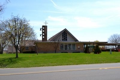
Location. 42° 46.13′ N, 86° 3.282′ W. Marker is near Holland, Michigan, in Allegan County. It is in Fillmore Township. Marker is on Ottogan Street (E. 32nd Street), 0.2 miles east of 52nd Street, on the right when traveling east. Marker is located on the Allegan County boundary; road names in this area often change between their Allegan County designation and Ottawa County designation. Touch for map. Marker is at or near this postal address: 5166 Ottogan Street, Holland MI 49423, United States of America. Touch for directions.
Other nearby markers. At least 8 other markers are within 3 miles of this marker, measured as the crow flies. Old Wing Mission (approx. 0.8 miles away); The Van Raalte Farm (approx. one mile away); New Groningen Cemetery / Groningen (approx. 2.1 miles away); Van Vleck Hall (approx. 2.7 miles away); New Groningen / Jan Rabbers (approx. 2.8 miles away); Western Theological Seminary (approx. 2.8 miles away); Hope College (approx. 2.8 miles away); Holland City Hall and Firehouse No. 2 (approx. 2.8 miles away). Touch for a list and map of all markers in Holland.
Credits. This page was last revised on August 5, 2023. It was originally submitted on May 13, 2014, by Duane Hall of Abilene, Texas. This page has been viewed 725 times since then and 33 times this year. Photos: 1, 2, 3, 4. submitted on May 13, 2014, by Duane Hall of Abilene, Texas.


