Huntington in Cabell County, West Virginia — The American South (Appalachia)
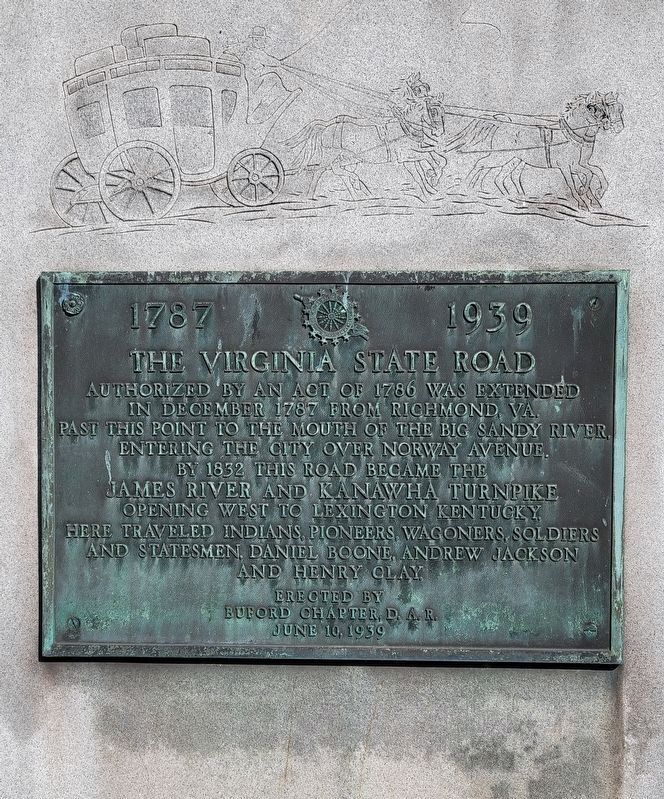
The Virginia State Road
1787-1939
Erected 1939 by Buford Chapter D.A.R.
Topics and series. This historical marker is listed in these topic lists: Roads & Vehicles • Settlements & Settlers. In addition, it is included in the Daughters of the American Revolution, and the Former U.S. Presidents: #07 Andrew Jackson series lists. A significant historical month for this entry is December 1787.
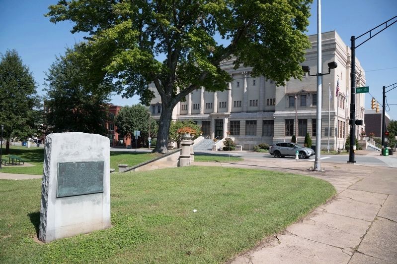
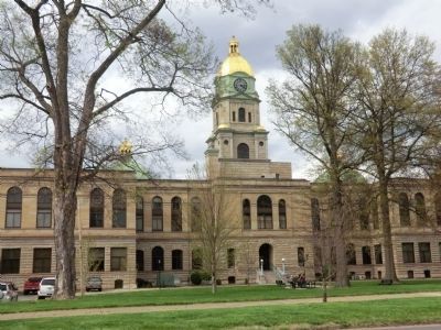
Location. 38° 25.152′ N, 82° 26.736′ W. Marker is in Huntington, West Virginia, in Cabell County. Marker is at the intersection of 5th Avenue and 8th Street on 5th Avenue. The marker is on the grounds of the Cabell County Courthouse. Touch for map. Marker is in this post office area: Huntington WV 25701, United States of America. Touch for directions.
Other nearby markers. At least 8 other markers are within walking distance of this marker. Huntington (within shouting distance of this marker); Revolutionary War Memorial (within shouting distance of this marker); Cabell County Cavalcade (within shouting distance of this marker); War of 1812 Memorial (about 300 feet away, measured in a direct line); Courthouse Clock Tower Bell (about 300 feet away); W. Stanley James, ESQ (about 400 feet away); "In Memoriam" (about 400 feet away); Sixth Street Bridge Spire (about 600 feet away). Touch for a list and map of all markers in Huntington.
Credits. This page was last revised on October 26, 2022. It was originally submitted on May 15, 2014, by Don Morfe of Baltimore, Maryland. This page has been viewed 588 times since then and 12 times this year. Photos: 1. submitted on October 21, 2022, by Bradley Owen of Morgantown, West Virginia. 2. submitted on November 8, 2018, by J. J. Prats of Powell, Ohio. 3. submitted on May 15, 2014, by Don Morfe of Baltimore, Maryland. • Bill Pfingsten was the editor who published this page.


